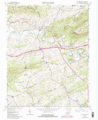
1965 Map of Max Meadows
USGS Topo · Published 1986About this map
Reed Creek meanders through a landscape defined by the ridges of Draper Mountain and the Jefferson National Forest during the mid-1960s. The settlement of Max Meadows stands as a primary junction for the Norfolk and Western railroad, which follows the creek's path through the valley. This era marks the significant arrival of Interstate 81, cutting across the terrain near the site of Fort Chiswell. Local life is anchored by institutions such as Mount Vale Ch, St Pauls Ch, and Fort Chiswell High Sch. Historical industrial activity is evidenced by Walton Furnace to the south and Gravel Pits near Locust Hill. The map also captures specialized facilities like the Wytheville National Fish Hatchery No 2 along the creek, and smaller crossroad stops like Farmers Store and Grahams Forge where the river and roads intersect.
Find a feature on this map
59 named features on this map. Tap any name to fly to it.
Don’t see what you’re looking for? This feature index may not catch every label — zoom into the map to look around manually.
Map Details
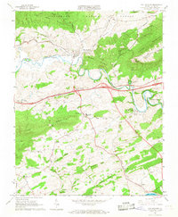
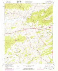
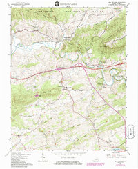
Editions of this 1965 Max Meadows Map
4 editions found
Other maps of this area

1887 · Pocahontas
USGS Topo · 1:125,000

1889 · Hillsville
USGS Topo · 1:125,000

1889 · Wytheville
USGS Topo · 1:125,000

1890 · Dublin
USGS Topo · 1:125,000

1891 · Pocahontas
USGS Topo · 1:125,000

1891 · Dublin
USGS Topo · 1:125,000

1892 · Hillsville
USGS Topo · 1:125,000

1892 · Wytheville
USGS Topo · 1:125,000

1894 · Pocahontas
USGS Topo · 1:125,000

1895 · Pocahontas
USGS Topo · 1:125,000