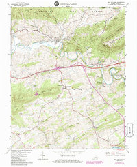
1965 Map of Max Meadows
USGS Topo · Published 1986About this map
Max Meadows and the surrounding Wythe County landscape are defined by the convergence of the Reed Creek waterway and the Norfolk And Western railroad. This 1965 survey, updated with mid-1980s data, illustrates the industrial and agricultural heritage of the region, from the historic site of Walton Furnace to the riverfront activity at Grahams Forge. The map records a dense network of local institutions, including Fort Chiswell High Sch and numerous country churches such as St Pauls Ch and East Piney Ch.
Find a feature on this map
52 named features on this map. Tap any name to fly to it.
Don’t see what you’re looking for? This feature index may not catch every label — zoom into the map to look around manually.
Map Details
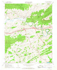
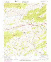
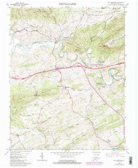
Editions of this 1965 Max Meadows Map
4 editions found
Other maps of this area

1887 · Pocahontas
USGS Topo · 1:125,000

1889 · Hillsville
USGS Topo · 1:125,000

1889 · Wytheville
USGS Topo · 1:125,000

1890 · Dublin
USGS Topo · 1:125,000

1891 · Pocahontas
USGS Topo · 1:125,000

1891 · Dublin
USGS Topo · 1:125,000

1892 · Hillsville
USGS Topo · 1:125,000

1892 · Wytheville
USGS Topo · 1:125,000

1894 · Pocahontas
USGS Topo · 1:125,000

1895 · Pocahontas
USGS Topo · 1:125,000