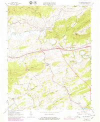
1965 Map of Max Meadows
USGS Topo · Published 1979About this map
Max Meadows serves as a central hub on this Wythe County map, situated along the Norfolk and Western railroad corridor. The landscape is defined by the winding course of Reed Creek as it carves through the gaps between Ramsay Mountain and Draper Mountain. To the south, the industrial history of the region is evident at Walton Furnace near Galena, reflecting the area's legacy of mineral extraction near Hematite Mtn.
Find a feature on this map
56 named features on this map. Tap any name to fly to it.
Don’t see what you’re looking for? This feature index may not catch every label — zoom into the map to look around manually.
Map Details
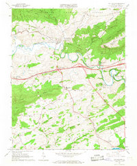
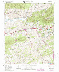
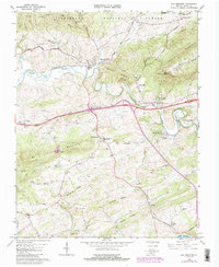
Editions of this 1965 Max Meadows Map
4 editions found
Other maps of this area

1887 · Pocahontas
USGS Topo · 1:125,000

1889 · Hillsville
USGS Topo · 1:125,000

1889 · Wytheville
USGS Topo · 1:125,000

1890 · Dublin
USGS Topo · 1:125,000

1891 · Pocahontas
USGS Topo · 1:125,000

1891 · Dublin
USGS Topo · 1:125,000

1892 · Hillsville
USGS Topo · 1:125,000

1892 · Wytheville
USGS Topo · 1:125,000

1894 · Pocahontas
USGS Topo · 1:125,000

1895 · Pocahontas
USGS Topo · 1:125,000