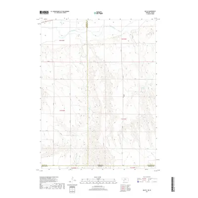
2017 Map of Max SE
USGS Topo · Published 2017About this map
The Republican River winds through the northern portion of this landscape, carving a wide valley across the high plains at the intersection of the Nebraska and Kansas state line. This rural corridor is defined by the drainage systems of Burntwood Cr and Indian Cr, which create a complex network of draws and ridges across Rawlins, Dundy, and Hitchcock counties. Historically significant landmarks include the West Union Cem, situated along a section line road north of the Kansas border. The map illustrates a strictly organized agricultural grid, where local routes like RD 707 and RD Ee provide access to remote ranching and farming operations. Near the eastern edge, the Golding Reservoir serves as a small but vital water resource in an otherwise semi-arid terrain, highlighting the region's reliance on managed water for land use.
Find a feature on this map
22 named features on this map. Tap any name to fly to it.
Don’t see what you’re looking for? This feature index may not catch every label — zoom into the map to look around manually.
Map Details
Editions of this 2017 Max SE Map
This is the sole edition of this map. No revisions or reprints were ever made.
Other maps of this area

1950 · Mc Donald
USGS Topo · 1:62,500

1951 · Mc Donald
USGS Topo · 1:62,500

1951 · Atwood
USGS Topo · 1:62,500

1954 · McCook
USGS Topo · 1:250,000

1954 · Goodland
USGS Topo · 1:250,000

1956 · Goodland
USGS Topo · 1:250,000

1957 · McCook
USGS Topo · 1:250,000

1957 · Goodland
USGS Topo · 1:250,000

1958 · McCook
USGS Topo · 1:250,000

1962 · Trenton SW
USGS Topo · 1:24,000