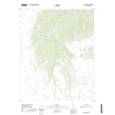
2023 Map of Maxson Crater
USGS Topo · Published 2023About this map
Maxson Crater and the southeastern flanks of the Turkey Mountains define this high-elevation landscape in Mora County. This modern survey illustrates a rugged terrain of volcanic features and deeply incised drainages, where the topography rises sharply toward Baldy Mtn. The hydrological network is dominated by seasonal watercourses and arroyos, including Arroyo Needham and Arroyo Lyman, which cut through the tablelands. The northern portion of the map is shaped by the significant depression of Curry Canyon and the winding course of Cottonwood Creek. The absence of dense settlement and the concentration of named arroyos like Arroyo Tierra Blanca and Dog Creek highlight the arid, open character of the region, where water management and elevation have historically dictated the use of the land.
Find a feature on this map
9 named features on this map. Tap any name to fly to it.
Don’t see what you’re looking for? This feature index may not catch every label — zoom into the map to look around manually.
Map Details
Editions of this 2023 Maxson Crater Map
This is the sole edition of this map. No revisions or reprints were ever made.
Other maps of this area

1889 · Las Vegas
USGS Topo · 1:125,000

1891 · Las Vegas
USGS Topo · 1:125,000

1892 · Watrous
USGS Topo · 1:125,000

1893 · Las Vegas
USGS Topo · 1:125,000

1894 · Watrous
USGS Topo · 1:125,000

1954 · Santa Fe
USGS Topo · 1:250,000

1954 · Raton
USGS Topo · 1:250,000

1958 · Raton
USGS Topo · 1:250,000

1958 · Santa Fe
USGS Topo · 1:250,000

1963 · Fort Union
USGS Topo · 1:24,000