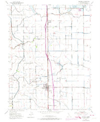
1952 Map of Maxwell
USGS Topo · Published 1974About this map
The agricultural landscape of the Colusa Basin is meticulously documented here, anchored by the central community of Maxwell. During the mid-century, this region served as a vital corridor for transportation and water management, evidenced by the dual presence of the Southern Pacific railroad and the extensive Glenn-Colusa Canal. The map reveals a highly engineered environment where natural waterways like Funks Creek and Stone Corral Creek are integrated with man-made features such as the Flood Channel and various siphons and flumes.
Find a feature on this map
29 named features on this map. Tap any name to fly to it.
Don’t see what you’re looking for? This feature index may not catch every label — zoom into the map to look around manually.
Map Details
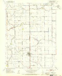
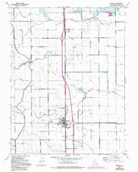
Editions of this 1952 Maxwell Map
3 editions found
Other maps of this area

1904 · Logan Creek
USGS Topo · 1:24,000

1904 · Sites
USGS Topo · 1:24,000

1905 · Fairview
USGS Topo · 1:24,000

1906 · Maxwell
USGS Topo · 1:62,500

1907 · Colusa
USGS Topo · 1:62,500

1917 · Logandale
USGS Topo · 1:31,680

1917 · Compton Landing
USGS Topo · 1:31,680

1917 · Sites
USGS Topo · 1:31,680

1917 · Delevan
USGS Topo · 1:31,680

1918 · Williams
USGS Topo · 1:31,680