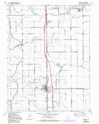
1952 Map of Maxwell
USGS Topo · Published 1994About this map
Agricultural development and water management define the landscape of the Colusa Basin in the mid-20th century. The town of Maxwell serves as a central hub, anchored by the Union High School and situated along the Southern Pacific railroad line. To the north, the settlement of Delavan and the Sacramento National Wildlife Refuge mark the transition toward protected wetlands.
Find a feature on this map
38 named features on this map. Tap any name to fly to it.
Don’t see what you’re looking for? This feature index may not catch every label — zoom into the map to look around manually.
Map Details
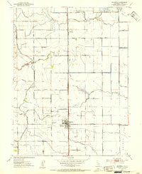
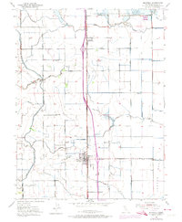
Editions of this 1952 Maxwell Map
3 editions found
Other maps of this area

1904 · Logan Creek
USGS Topo · 1:24,000

1904 · Sites
USGS Topo · 1:24,000

1905 · Fairview
USGS Topo · 1:24,000

1906 · Maxwell
USGS Topo · 1:62,500

1907 · Colusa
USGS Topo · 1:62,500

1917 · Logandale
USGS Topo · 1:31,680

1917 · Compton Landing
USGS Topo · 1:31,680

1917 · Sites
USGS Topo · 1:31,680

1917 · Delevan
USGS Topo · 1:31,680

1918 · Williams
USGS Topo · 1:31,680