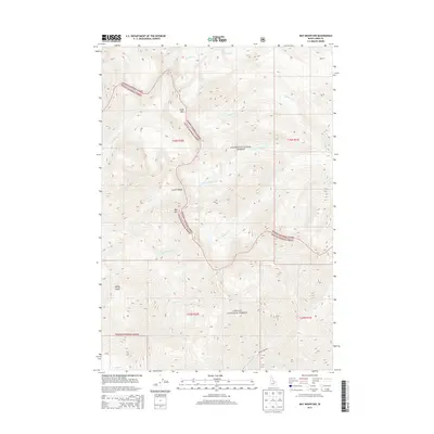
2013 Map of May Mountain
USGS Topo · Published 2013About this map
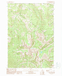
May Mtn and the high peaks of the Lemhi Range dominate this interior portion of Lemhi County, Idaho. The landscape is defined by the intersection of the Salmon National Forest and Challis National Forest, where a complex network of canyons and creeks drains the high country. Watercourses such as Hayden Cr and its W Fork Hayden Cr, alongside the drainage of Morgan Cr, create a deeply dissected terrain. These hydrological patterns reflect the classic drainage systems of the Central Idaho mountains, where named features like Long Mtn and Spring Gulch provide specific landmarks within the protected federal lands. The map illustrates the specialized management boundaries and forest service road networks established to navigate this high-elevation wilderness in the early twenty-first century.
Find a feature on this map
25 named features on this map. Tap any name to fly to it.
Don’t see what you’re looking for? This feature index may not catch every label — zoom into the map to look around manually.
Map Details
Editions of this 2013 May Mountain Map
This is the sole edition of this map. No revisions or reprints were ever made.
Other maps of this area

1955 · Dubois
USGS Topo · 1:250,000

1956 · Patterson
USGS Topo · 1:62,500

1956 · May
USGS Topo · 1:62,500

1956 · Lemhi
USGS Topo · 1:62,500

1958 · Dubois
USGS Topo · 1:250,000
1962 · Allison Creek
USGS Topo · 1:24,000
1962 · Lem Peak
USGS Topo · 1:24,000

1980 · Leadore
USGS Topo · 1:100,000
1989 · May
USGS Topo · 1:24,000
1989 · Mogg Mountain
USGS Topo · 1:24,000