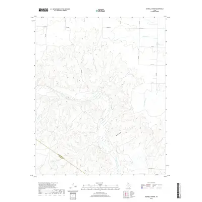
2019 Map of Maybell Canyon
USGS Topo · Published 2019About this map
The Pease River carves a broad, braided path through this north Texas landscape, defining the physical and political boundary between Hardeman Co and Foard Co. This terrain is deeply dissected by a network of drainage systems including Wanderers Cr, Hog Cr, and Spring Cr, all feeding toward the central river valley. The namesake Maybell Canyon stands out as a prominent landform in the southeast, while the northern uplands are marked by a rectilinear grid of rural roads such as Wofford Rd and Craven Rd. This 2019 survey documents a sparsely populated ranching and agricultural region where the natural topography of the Texas Rolling Plains remains the dominant feature, punctuated by minor landmarks like the Copper Breaks Rd near the southern edge.
Find a feature on this map
23 named features on this map. Tap any name to fly to it.
Don’t see what you’re looking for? This feature index may not catch every label — zoom into the map to look around manually.
Map Details
Editions of this 2019 Maybell Canyon Map
This is the sole edition of this map. No revisions or reprints were ever made.
Other maps of this area
1927 · Quanah 3-a
USGS Topo · 1:48,000
1927 · Quanah 3-b
USGS Topo · 1:48,000
1932 · Vivian
USGS Topo · 1:62,500
1955 · Lawton
USGS Topo · 1:250,000
1958 · Medicine Mound
USGS Topo · 1:62,500
1960 · Goodlett
USGS Topo · 1:62,500
1960 · Teacup Mountain
USGS Topo · 1:62,500
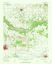
1960 · Quanah
USGS Topo · 1:62,500
1983 · Big Mound
USGS Topo · 1:24,000
1983 · Margaret
USGS Topo · 1:24,000