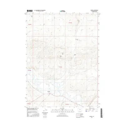
2016 Map of Maybell
USGS Topo · Published 2016About this map
Maybell sits at the heart of this high-desert landscape in Moffat County, where the Yampa River winds through a broad valley punctuated by early irrigation works. The local agricultural history is visible through the Maybell Ditch, which follows the river's southern curve to support ranching in this arid corner of Colorado. North of the settlement, the terrain rises into prominent formations such as Hat Hill and Eagle Rock, revealing a geography defined by seasonal drainages like Alkali Draw and Wildcat Draw. Genealogists will find the Fairview Cem located north of the town center, a key site for local family history. The distribution of water sources like Omstead Spring and Barber Spring highlights the critical importance of localized water points for the livestock and wildlife that define this region's land use.
Find a feature on this map
26 named features on this map. Tap any name to fly to it.
Don’t see what you’re looking for? This feature index may not catch every label — zoom into the map to look around manually.
Map Details
Editions of this 2016 Maybell Map
This is the sole edition of this map. No revisions or reprints were ever made.
Other maps of this area

1907 · White River
USGS Topo · 1:125,000

1910 · Danforth Hills
USGS Topo · 1:125,000

1910 · White River
USGS Topo · 1:125,000

1912 · Axial
USGS Topo · 1:62,500

1914 · Axial
USGS Topo · 1:62,500

1916 · Craig
USGS Topo · 1:125,000

1954 · Vernal
USGS Topo · 1:250,000

1954 · Craig
USGS Topo · 1:250,000

1957 · Craig
USGS Topo · 1:250,000

1958 · Vernal
USGS Topo · 1:250,000