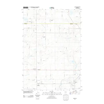
2013 Map of Mayer
USGS Topo · Published 2013About this map
New Germany and Mayer anchor the southern portion of this landscape, where the South Fork Crow River snakes through the glacial till. The area reflects a classic Midwestern agricultural and drainage pattern, evidenced by the systematic network of water management features like County Ditch Number Nine and Judicial Ditch Number One. Local history is deeply rooted in these small settlements, marked by numerous rural burial grounds including Saint John's Lutheran Church Cemetary, Saint Mark Cem, and Zion Cem.
Find a feature on this map
69 named features on this map. Tap any name to fly to it.
Don’t see what you’re looking for? This feature index may not catch every label — zoom into the map to look around manually.
Map Details
Editions of this 2013 Mayer Map
This is the sole edition of this map. No revisions or reprints were ever made.
Other maps of this area

1953 · Saint Paul
USGS Topo · 1:250,000

1953 · New Ulm
USGS Topo · 1:250,000

1953 · Saint Cloud
USGS Topo · 1:250,000

1953 · Stillwater
USGS Topo · 1:250,000

1955 · Stillwater
USGS Topo · 1:250,000

1957 · Saint Cloud
USGS Topo · 1:250,000

1957 · New Ulm
USGS Topo · 1:250,000

1957 · Waconia
USGS Topo · 1:62,500

1958 · New Ulm
USGS Topo · 1:250,000

1958 · Stillwater
USGS Topo · 1:250,000