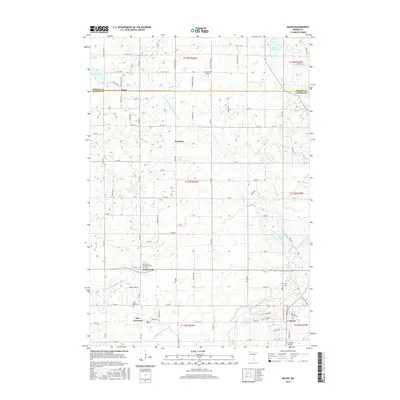
2016 Map of Mayer
USGS Topo · Published 2016About this map
New Germany and Mayer anchor the southern reaches of this landscape, where the South Fork Crow River cuts through the glacial terrain of Carver County. This area is defined by a dense network of drainage engineering, including Judicial Ditch Number One, Judicial Ditch Number Four, and County Ditch Number Nine, which historically transformed the local wetlands into productive agricultural tracts. Small communities like Hollywood and Hazelton are central to the social fabric of the township system, often centered around long-standing institutions like Saint John's Lutheran Church and its accompanying Cemetary. The northern border with Wright County near Oster showcases a pocket of glacial lakes including Dog Lake, Lake Ida, and Pooles Lake. Transport and local aviation are represented by regional roads and private facilities such as Schumacher Airport and Ziermann Airport, reflecting the rural character of the region during this mid-2010s survey.
Find a feature on this map
88 named features on this map. Tap any name to fly to it.
Don’t see what you’re looking for? This feature index may not catch every label — zoom into the map to look around manually.
Map Details
Editions of this 2016 Mayer Map
This is the sole edition of this map. No revisions or reprints were ever made.
Other maps of this area

1953 · Saint Paul
USGS Topo · 1:250,000

1953 · New Ulm
USGS Topo · 1:250,000

1953 · Saint Cloud
USGS Topo · 1:250,000

1953 · Stillwater
USGS Topo · 1:250,000

1955 · Stillwater
USGS Topo · 1:250,000

1957 · Saint Cloud
USGS Topo · 1:250,000

1957 · New Ulm
USGS Topo · 1:250,000

1957 · Waconia
USGS Topo · 1:62,500

1958 · New Ulm
USGS Topo · 1:250,000

1958 · Stillwater
USGS Topo · 1:250,000