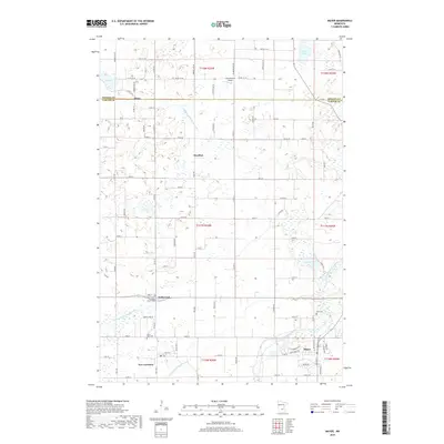
2019 Map of Mayer
USGS Topo · Published 2019About this map
The South Fork Crow River snakes through this agricultural landscape on the border of Wright and Carver counties. The eastern edge of New Germany and the developing outskirts of Mayer anchor the southern portion of the map, illustrating the continued significance of these small rural centers. This region is defined by a dense grid of township roads and an extensive network of water management features, including Judicial Ditch Number Four and County Ditch Number Nine, which have long been essential for local farming.
Find a feature on this map
89 named features on this map. Tap any name to fly to it.
Don’t see what you’re looking for? This feature index may not catch every label — zoom into the map to look around manually.
Map Details
Editions of this 2019 Mayer Map
This is the sole edition of this map. No revisions or reprints were ever made.
Other maps of this area

1953 · Saint Paul
USGS Topo · 1:250,000

1953 · New Ulm
USGS Topo · 1:250,000

1953 · Saint Cloud
USGS Topo · 1:250,000

1953 · Stillwater
USGS Topo · 1:250,000

1955 · Stillwater
USGS Topo · 1:250,000

1957 · Saint Cloud
USGS Topo · 1:250,000

1957 · New Ulm
USGS Topo · 1:250,000

1957 · Waconia
USGS Topo · 1:62,500

1958 · New Ulm
USGS Topo · 1:250,000

1958 · Stillwater
USGS Topo · 1:250,000