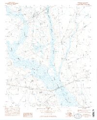
1983 Map of Mayesville
USGS Topo · Published 1983About this map
Mayesville serves as the primary hub of this landscape, situated along the Seaboard Coast Line railroad near the border of Lee and Sumter counties. The geography is defined by extensive wetlands, with Scape Ore Swamp, Black River Swamp, and Rocky Bluff Swamp creating a complex network of waterways that dictate the placement of roads and homesteads.
Find a feature on this map
30 named features on this map. Tap any name to fly to it.
Don’t see what you’re looking for? This feature index may not catch every label — zoom into the map to look around manually.
Map Details
Editions of this 1983 Mayesville Map
2 editions found
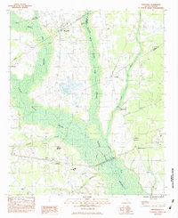
Other maps of this area

1920 · Mayesville
USGS Topo · 1:48,000

1921 · Mayesville
USGS Topo · 1:62,500

1941 · Spartanburg
USGS Topo · 1:250,000

1943 · Mayesville
USGS Topo · 1:62,500

1946 · Sumter
USGS Topo · 1:62,500

1953 · Spartanburg
USGS Topo · 1:250,000

1954 · Augusta
USGS Topo · 1:250,000

1957 · Sumter East
USGS Topo · 1:24,000

1957 · Ashwood
USGS Topo · 1:62,500

1957 · Sumter
USGS Topo · 1:62,500
Featured Places
- Mayesville, SC
- Scottsville, SC
- Brunsons Store, SC
- Mayesville East Subdivision, Mayesville
- Sumter County, SC