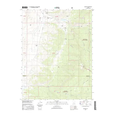
2017 Map of Mayfield
USGS Topo · Published 2017About this map
Mayfield serves as the primary settlement on this Central Utah landscape, situated where Twelvemile Cr emerges from the high country. The topography transitions sharply from the agricultural fields near town into the steep drainages of the Manti-LaSal National Forest and Fishlake National Forest. Evidence of local history and land use is visible in the placement of the Mayfield Cem and the complex network of canyons including Twelvemile Canyon and Order Canyon. The southern portion of the map is defined by the Sanpete Co Sevier Co line, crossing through high-altitude features like Order Mtn and Jacks Flat. Water management is central to the area's geography, with Willow Cr Reservoir and various springs like Michaelson Springs supporting the transition between the White Hills and the lush creek bottoms.
Find a feature on this map
50 named features on this map. Tap any name to fly to it.
Don’t see what you’re looking for? This feature index may not catch every label — zoom into the map to look around manually.
Map Details
Editions of this 2017 Mayfield Map
This is the sole edition of this map. No revisions or reprints were ever made.
Other maps of this area
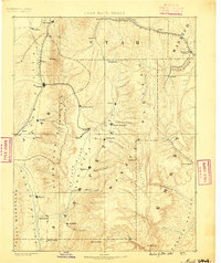
1885 · Manti
USGS Topo · 1:250,000
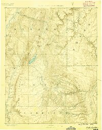
1885 · Fish Lake
USGS Topo · 1:250,000
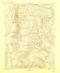
1895 · Manti
USGS Topo · 1:250,000
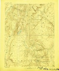
1896 · Fish Lake
USGS Topo · 1:250,000
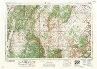
1956 · Salina
USGS Topo · 1:250,000
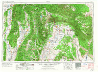
1956 · Price
USGS Topo · 1:250,000
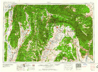
1960 · Price
USGS Topo · 1:250,000
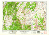
1960 · Salina
USGS Topo · 1:250,000
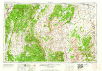
1962 · Salina
USGS Topo · 1:250,000
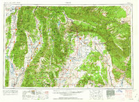
1962 · Price
USGS Topo · 1:250,000