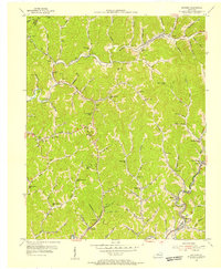
1954 Map of Mayking
USGS Topo · Published 1956About this map
Coal company maps and 1950s aerial photography inform this topographic record of Letcher County, where the North Fork Kentucky River and the Louisville and Nashville railroad tracks follow the winding valley floors. The landscape is a dense network of hollows and gaps, such as Sandlick Gap and Turkey Gap, which dictated the location of early mountain settlements and rural schoolhouses. A notable concentration of community infrastructure appears along the watercourses, including the Beaverdam Sch, Colson Sch, and Camp Branch Sch.
Find a feature on this map
120 named features on this map. Tap any name to fly to it.
Don’t see what you’re looking for? This feature index may not catch every label — zoom into the map to look around manually.
Map Details
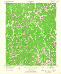
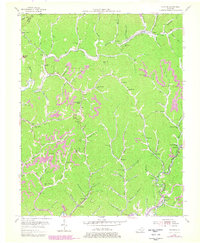
Editions of this 1954 Mayking Map
3 editions found
Other maps of this area

1890 · Whitesburg
USGS Topo · 1:125,000

1892 · Whitesburg
USGS Topo · 1:125,000

1912 · Pound
USGS Topo · 1:48,000

1912 · Hindman
USGS Topo · 1:48,000

1913 · Oven Fork
USGS Topo · 1:48,000

1914 · Pound
USGS Topo · 1:62,500

1914 · Vergie
USGS Topo · 1:48,000

1915 · Hindman
USGS Topo · 1:62,500

1915 · Whitesburg
USGS Topo · 1:62,500

1916 · Pikeville
USGS Topo · 1:62,500