Loading...
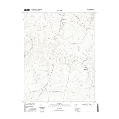
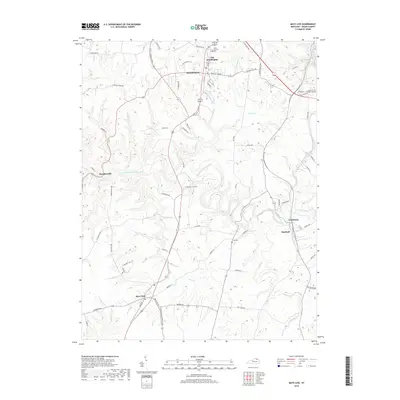
Loading map...2022 Map of Mays Lick
USGS Topo · Published 2022About this map
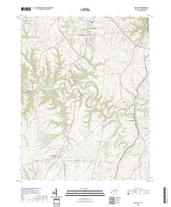
The North Fork Licking River winds through the heart of this Mason County landscape, carving deep, sinuous bends that define the local topography south of Maysville. Long-established road networks like Old US Hwy 68 and the Clyde T Barbour Pkwy connect the historic community of Mays Lick to the northern edge of the map at Old Washington.
Find a feature on this map
72 named features on this map. Tap any name to fly to it.
Don’t see what you’re looking for? This feature index may not catch every label — zoom into the map to look around manually.
Map Details
Date Portrayed2022
Date Published2022
PublisherU.S. Geological Survey
Map TypeTopographic
Scale1:24,000
Physical Dimensions24 x 29 inches
Editions of this 2022 Mays Lick Map
This is the sole edition of this map. No revisions or reprints were ever made.
Historical Maps of Maysville Through Time
6 maps found
Featured Locations
Source Details
SourceU.S. Geological Survey
CopyrightPublic Domain