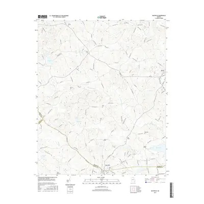
2017 Map of Maysville
USGS Topo · Published 2017About this map
The Hudson River and its numerous tributaries, including Hickory Level Cr and Grove Cr, define the drainage patterns of this border region between Banks, Hall, and Jackson Counties. The town of Maysville sits at the southern edge, characterized by a concentration of local landmarks such as Sunrise Cem and nearby river crossings like Mangum Bridge. To the northeast, the settlement of Homer serves as another focal point for the surrounding rural landscape.
Find a feature on this map
126 named features on this map. Tap any name to fly to it.
Don’t see what you’re looking for? This feature index may not catch every label — zoom into the map to look around manually.
Map Details
Editions of this 2017 Maysville Map
This is the sole edition of this map. No revisions or reprints were ever made.
Other maps of this area

1891 · Gainesville
USGS Topo · 1:125,000

1891 · Carnesville
USGS Topo · 1:125,000

1954 · Greenville
USGS Topo · 1:250,000

1958 · Greenville
USGS Topo · 1:250,000

1964 · Commerce
USGS Topo · 1:24,000

1964 · Maysville
USGS Topo · 1:24,000

1964 · Lula
USGS Topo · 1:24,000
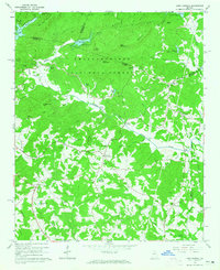
1964 · Lake Russell
USGS Topo · 1:24,000

1964 · Pendergrass
USGS Topo · 1:24,000
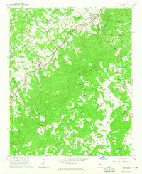
1964 · Baldwin
USGS Topo · 1:24,000