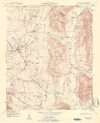
1951 Map of Maysville
USGS Topo · Published 1951About this map
Flint River meanders through this portion of Madison County, providing a historical look at the valley before modern suburban expansion. The landscape is defined by the heavy presence of agricultural infrastructure and early industrial sites like Bell Factory and McCaleb Mill. A significant historical line, the Old Cherokee Boundary, cuts through the center of the terrain, crossing over Lewis Mountain and Berry Mountain. Small rural centers such as Maysville and Buckhorn serve as anchors for a network of country churches including Morning Star Church and Locust Grove Church. Transport is facilitated by the Nashville and Chattanooga St Louis and Southern railroads, which parallel early road systems like Lee Highway. For genealogists, the map is dense with burial grounds like Jordan Cem and Crowson Hill Cem, alongside numerous schoolhouses that served these dispersed communities.
Find a feature on this map
88 named features on this map. Tap any name to fly to it.
Don’t see what you’re looking for? This feature index may not catch every label — zoom into the map to look around manually.
Map Details
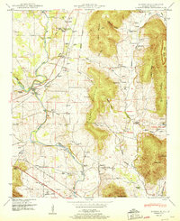
Editions of this 1951 Maysville Map
2 editions found
Other maps of this area

1888 · Scottsboro
USGS Topo · 1:125,000

1888 · Huntsville
USGS Topo · 1:125,000

1892 · Huntsville
USGS Topo · 1:125,000

1892 · Scottsboro
USGS Topo · 1:125,000

1936 · King Cove
USGS Topo · 1:24,000

1936 · Meridianville
USGS Topo · 1:24,000

1936 · Moontown
USGS Topo · 1:24,000

1936 · Fisk
USGS Topo · 1:24,000

1936 · Hollytree
USGS Topo · 1:24,000

1936 · Maysville
USGS Topo · 1:24,000