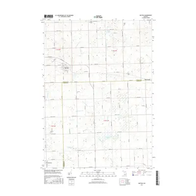
2017 Map of Mayville
USGS Topo · Published 2017About this map
Mayville serves as the primary hub in this portion of the Michigan Thumb, situated at the intersection of Ohmer Rd and Mayville Rd. The surrounding landscape is defined by an intricate network of agricultural drainage systems, including the Cox Drain, Voght Drain, and N County Drain, which manage the low-lying terrain between scattered water bodies like Phelps Lake and Mawdesley Lake. This 2017 survey illustrates the persistent rural character of the area, where small settlements like Silverwood and Fostoria anchor the corners of the map across the Tuscola and Lapeer county line.
Find a feature on this map
98 named features on this map. Tap any name to fly to it.
Don’t see what you’re looking for? This feature index may not catch every label — zoom into the map to look around manually.
Map Details
Editions of this 2017 Mayville Map
This is the sole edition of this map. No revisions or reprints were ever made.
Other maps of this area

1954 · Flint
USGS Topo · 1:250,000

1958 · Flint
USGS Topo · 1:250,000

1963 · Clifford
USGS Topo · 1:24,000

1963 · East Dayton
USGS Topo · 1:24,000

1963 · Mayville
USGS Topo · 1:24,000

1963 · North Branch
USGS Topo · 1:24,000

1963 · Kingston
USGS Topo · 1:24,000

1963 · Columbiaville
USGS Topo · 1:24,000

1963 · Caro
USGS Topo · 1:24,000

1963 · Juniata
USGS Topo · 1:24,000