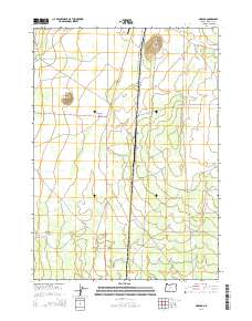
2014 Map of Mazama
USGS Topo · Published 2014About this map
Mazama sits at a critical junction of high-desert transit in this Klamath County landscape, where the corridor of Us-97 bisects a terrain of volcanic features and seasonal waterways. The geography is defined by prominent elevations such as Buckeye Butte and Rock Point, which rise above the surrounding Antelope Desert. This area serves as a transition point between the higher volcanic reaches and the basin floor, marked by the presence of Diamond Crater near the intersection of several forest and state routes.
Find a feature on this map
23 named features on this map. Tap any name to fly to it.
Don’t see what you’re looking for? This feature index may not catch every label — zoom into the map to look around manually.
Map Details
Editions of this 2014 Mazama Map
This is the sole edition of this map. No revisions or reprints were ever made.
Other maps of this area

1889 · Klamath
USGS Topo · 1:250,000

1894 · Klamath
USGS Topo · 1:250,000

1935 · Chemult
USGS Topo · 1:96,000

1941 · Chemult
USGS Topo · 1:125,000

1955 · Crescent
USGS Topo · 1:250,000

1955 · Klamath Falls
USGS Topo · 1:250,000

1957 · Crescent
USGS Topo · 1:250,000

1957 · Klamath Marsh
USGS Topo · 1:62,500

1957 · Lenz
USGS Topo · 1:62,500

1958 · Crescent
USGS Topo · 1:250,000