
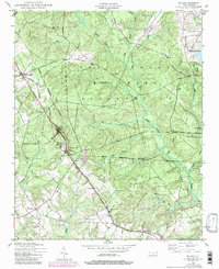
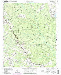
1948 Map of Mc Cain
USGS Topo · Published 1984About this map
Fort Bragg Military Reservation dominates the northern half of this landscape, its boundary cutting through the heart of Hoke County. Outside the military zone, the Aberdeen and Rockfish railroad corridor serves as the primary spine for settlement, connecting small communities like Ashley Heights, Ashmont, and Montrose. These hamlets grew as centers for the local timber and turpentine industries, a history evidenced by the numerous creek-bottom drainages such as Rockfish Creek and Gum Branch that crisscross the sandy terrain.
Find a feature on this map
28 named features on this map. Tap any name to fly to it.
Don’t see what you’re looking for? This feature index may not catch every label — zoom into the map to look around manually.
Map Details
Editions of this 1948 Mc Cain Map
3 editions found
Other maps of this area

1948 · Southern Pines
USGS Topo · 1:62,500

1948 · Clifdale
USGS Topo · 1:62,500

1948 · Pinebluff
USGS Topo · 1:24,000

1948 · Nicholson Creek
USGS Topo · 1:24,000

1949 · Wagram
USGS Topo · 1:24,000

1949 · Silver Hill
USGS Topo · 1:24,000

1949 · Laurinburg
USGS Topo · 1:62,500

1950 · Sanatorium
USGS Topo · 1:24,000

1950 · Lobelia
USGS Topo · 1:24,000

1950 · Pine Bluff
USGS Topo · 1:24,000