
1912 Map of Mc Calls Ferry
USGS Topo · Published 1912About this map
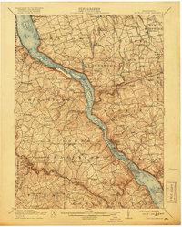
The Susquehanna River cuts a deep, winding channel through the heart of this 1910 survey, serving as the border between Lancaster and York counties. This era reveals a river valley defined by intense rail activity and water-powered industry, where the Pennsylvania RR tracks hug the eastern shoreline near settlements like Safe Harbor and Pequea. The landscape is dotted with numerous mills and early infrastructure, including Erb's Mill and a Power Plant downstream from McCalls Ferry. Away from the river, the uplands of Manor and Marticville townships are thick with small country schools like Mylin School and Alt Hope School, alongside centers of worship such as Bethel Church. The map provides a detailed look at the rural road network and the positioning of vanished stations like Shenks Ferry Sta before modern changes altered the river's flow.
Find a feature on this map
126 named features on this map. Tap any name to fly to it.
Don’t see what you’re looking for? This feature index may not catch every label — zoom into the map to look around manually.
Map Details
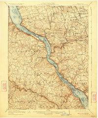
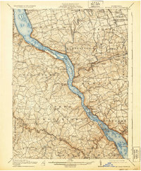
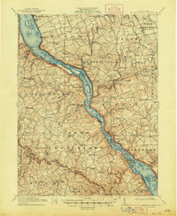
Editions of this 1912 Mc Calls Ferry Map
5 editions found
Other maps of this area

1900 · Havre De Grace
USGS Topo · 1:62,500

1900 · Parkton
USGS Topo · 1:62,500

1901 · Belair
USGS Topo · 1:62,500

1902 · Parkton
USGS Topo · 1:62,500

1902 · Lancaster
USGS Topo · 1:62,500

1904 · Lancaster
USGS Topo · 1:62,500

1906 · New Holland
USGS Topo · 1:62,500

1908 · Middletown
USGS Topo · 1:62,500

1908 · New Holland
USGS Topo · 1:62,500

1908 · York
USGS Topo · 1:62,500
Featured Places
- West Lampeter Township, PA
- Willow Street, West Lampeter Township
- Millersville, PA
- Pequea, Conestoga Township
- Conestoga Township, PA