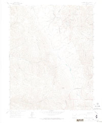
1963 Map of Mc Carty Park
USGS Topo · Published 1974About this map
Mc Carty Cow Camp sits as a lone human outpost in this 1963 field-checked survey of the high-altitude terrain where the Sangre De Cristo Range meets the San Isabel National Forest. The landscape is dominated by steep drainages and prominent summits, including Harrison Peak and Napoleon Peak to the south. The mapping reveals a complex network of seasonal water sources such as North Fork Trinchera Creek and American Creek, alongside numerous unnamed Springs that feed the local canyons.
Find a feature on this map
30 named features on this map. Tap any name to fly to it.
Don’t see what you’re looking for? This feature index may not catch every label — zoom into the map to look around manually.
Map Details
Editions of this 1963 Mc Carty Park Map
5 editions found
Other maps of this area

1889 · Huerfano Park
USGS Topo · 1:125,000

1892 · Huerfano Park
USGS Topo · 1:125,000

1954 · Trinidad
USGS Topo · 1:250,000

1955 · Trinidad
USGS Topo · 1:250,000

1958 · Trinidad
USGS Topo · 1:250,000

1959 · Trinidad
USGS Topo · 1:250,000

1963 · Mc Carty Park
USGS Topo · 1:24,000

1963 · La Veta Pass
USGS Topo · 1:24,000
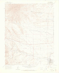
1963 · La Veta
USGS Topo · 1:24,000
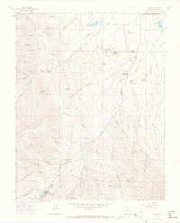
1963 · Cuchara
USGS Topo · 1:24,000