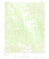
1963 Map of Mc Carty Park
USGS Topo · Published 1974About this map
Sangre De Cristo Range peaks and high-altitude parks define this 1960s study of the Colorado high country. The landscape is dominated by the sprawling Mc Carty Park, where the Mc Carty Cow Camp sits as a lonely marker of the region's ranching heritage. The northern edge of the map shows the historical route of the Denver and Rio Grande Western railroad as it winds through the mountains, providing a vital link over the pass.
Find a feature on this map
33 named features on this map. Tap any name to fly to it.
Don’t see what you’re looking for? This feature index may not catch every label — zoom into the map to look around manually.
Map Details
Editions of this 1963 Mc Carty Park Map
5 editions found
Other maps of this area

1889 · Huerfano Park
USGS Topo · 1:125,000

1892 · Huerfano Park
USGS Topo · 1:125,000

1954 · Trinidad
USGS Topo · 1:250,000

1955 · Trinidad
USGS Topo · 1:250,000

1958 · Trinidad
USGS Topo · 1:250,000

1959 · Trinidad
USGS Topo · 1:250,000

1963 · Mc Carty Park
USGS Topo · 1:24,000

1963 · La Veta Pass
USGS Topo · 1:24,000
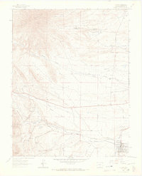
1963 · La Veta
USGS Topo · 1:24,000
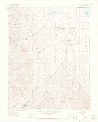
1963 · Cuchara
USGS Topo · 1:24,000