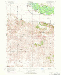
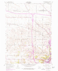
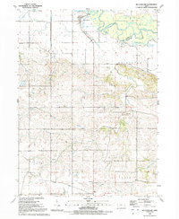
1953 Map of Mc Causland
USGS Topo · Published 1971About this map
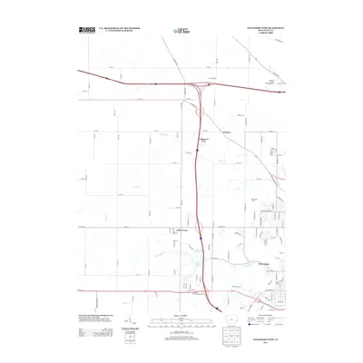
The Wapsipinicon River meanders through the northern portion of this landscape, defining the rural character of northern Scott County during the early 1950s. The settlement of McCausland serves as a local hub near the river, situated along a dismantled railroad line that once cut through the townships of Eden and Butler. The map reveals a dense network of one-room schoolhouses that once served this agricultural community, including Wapsie View School, Maple Glenn School, and Lost Grove School, many of which were still mapped even as educational consolidation began to change the rural landscape.
Find a feature on this map
30 named features on this map. Tap any name to fly to it.
Don’t see what you’re looking for? This feature index may not catch every label — zoom into the map to look around manually.
Map Details
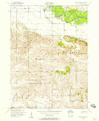
Editions of this 1953 Mc Causland Map
3 editions found
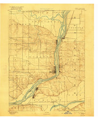
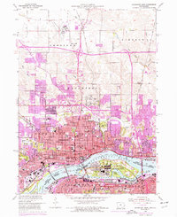
Historical Maps of McCausland Through Time
19 maps found

1892 Leclaire
Scott County, IA
1893 Leclaire
Scott County, IA
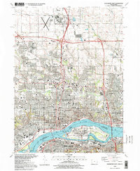
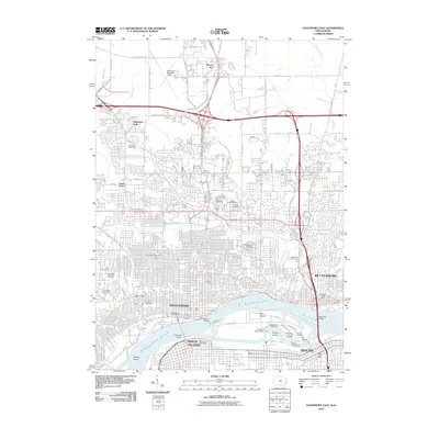
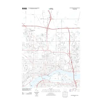
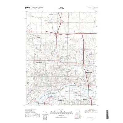
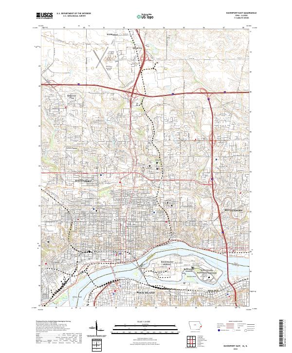
1953 Davenport East
Scott County, IA
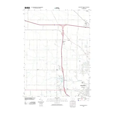
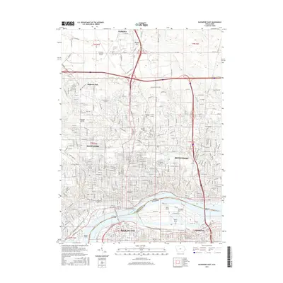
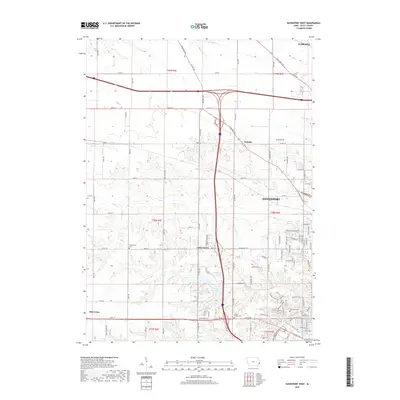
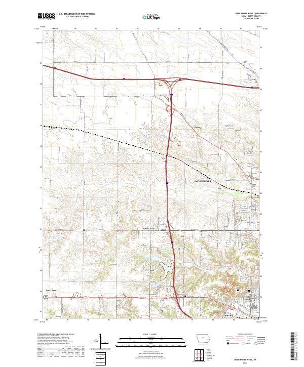
1953 Davenport West
Scott County, IA
1953 Mc Causland
Scott County, IA
1991 Davenport East
Scott County, IA
1991 Davenport West
Scott County, IA
1991 Mc Causland
Scott County, IA
1993 Davenport East
Scott County, IA
2010 Davenport East
Scott County, IA
2010 Davenport West
Scott County, IA
2013 Davenport East
Scott County, IA
2013 Davenport West
Scott County, IA
2015 Davenport East
Scott County, IA
2015 Davenport West
Scott County, IA
2018 Davenport East
Scott County, IA
2018 Davenport West
Scott County, IA
2022 Davenport East
Scott County, IA
2022 Davenport West
Scott County, IA