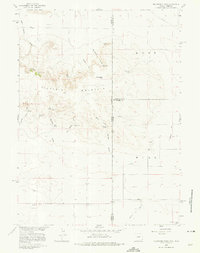
1960 Map of Mc Compsey Pass
USGS Topo · Published 1975About this map
Sixty Six Mountain dominates the landscape of this high-plains region straddling the border of Wyoming and Nebraska. This 1960 survey documents a transition from the elevated terrain at Mc Compsey Pass down to the expansive Spear Flat and Hull area. The presence of numerous water sources, such as The Culp Spring, Huntington Springs, and the State Line Springs, reveals a territory where water management was critical for cattle ranching. Unique local landforms like Devils Armchair and deep incisions like Driscoll Canyon break the horizon. At the southern edge, Pumpkin Creek Road and Pumpkin Creek trace the lower elevations, while scattered improvements like the Spahr Ranch show the sparse but persistent human footprint on the land.
Find a feature on this map
27 named features on this map. Tap any name to fly to it.
Don’t see what you’re looking for? This feature index may not catch every label — zoom into the map to look around manually.
Map Details
Editions of this 1960 Mc Compsey Pass Map
3 editions found
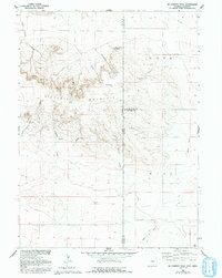
Other maps of this area

1898 · Scotts Bluff
USGS Topo · 1:125,000

1899 · Goshen Hole
USGS Topo · 1:125,000

1954 · Scottsbluff
USGS Topo · 1:250,000

1954 · Cheyenne
USGS Topo · 1:250,000

1958 · Cheyenne
USGS Topo · 1:250,000

1958 · Scottsbluff
USGS Topo · 1:250,000

1960 · Tremain
USGS Topo · 1:24,000

1960 · Mc Compsey Pass
USGS Topo · 1:24,000

1960 · Petsch Reservoir
USGS Topo · 1:24,000

1960 · Stegall
USGS Topo · 1:24,000