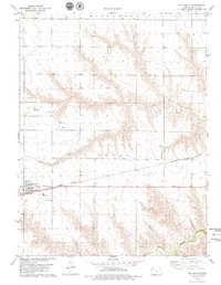
1978 Map of Mc Donald
USGS Topo · Published 1979About this map
McDonald stands as the primary settlement in this corner of Rawlins County, situated along the line of the Burlington Northern railroad. The town's layout includes a Park and a central WT, indicating the local infrastructure of the late 1970s. The surrounding High Plains landscape is defined by the drainage basins of North Beaver Creek and Little Beaver Creek, which carve distinct topographic relief into the prairie. A notable concentration of private aviation is evident across the township, with the Black Landing Field, Poore Landing Strip, and Briney Landing Field peppered throughout the agricultural sections. The map also delineates the civil boundaries of Celia and Burntwood, providing a clear view of the area's jurisdictional divisions during this era. Industrial activity is limited but present, marked by a lone Sandpit near the southern edge of the survey.
Find a feature on this map
13 named features on this map. Tap any name to fly to it.
Don’t see what you’re looking for? This feature index may not catch every label — zoom into the map to look around manually.
Map Details
Editions of this 1978 Mc Donald Map
This is the sole edition of this map. No revisions or reprints were ever made.
Other maps of this area

1950 · Mc Donald
USGS Topo · 1:62,500

1951 · Mc Donald
USGS Topo · 1:62,500

1951 · Atwood
USGS Topo · 1:62,500

1951 · Chardon
USGS Topo · 1:62,500

1951 · Dewey Ranch
USGS Topo · 1:62,500

1954 · Goodland
USGS Topo · 1:250,000

1956 · Goodland
USGS Topo · 1:250,000

1957 · Goodland
USGS Topo · 1:250,000
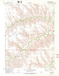
1978 · Beardsley
USGS Topo · 1:24,000
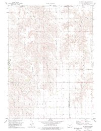
1978 · Mc Donald NW
USGS Topo · 1:24,000