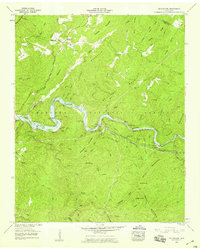
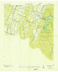
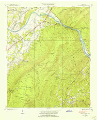
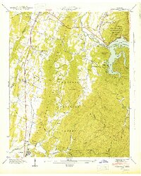
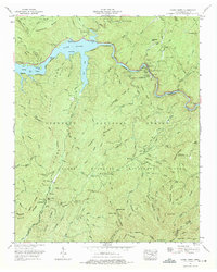
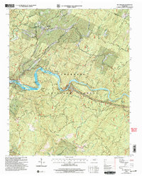
1957 Map of Mc Farland
USGS Topo · Published 1959This historical map portrays the area of Mc Farland in 1957, primarily covering Polk County as well as portions of Monroe County. Featuring a scale of 1:24000, this map provides a highly detailed snapshot of the terrain, roads, buildings, counties, and historical landmarks in the Mc Farland region at the time. Published in 1959, it is one of 3 known editions of this map due to revisions or reprints.
Find a feature on this map
87 named features on this map. Tap any name to fly to it.
Don’t see what you’re looking for? This feature index may not catch every label — zoom into the map to look around manually.
Map Details
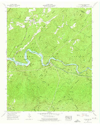
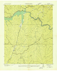
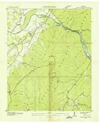
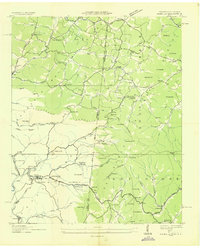
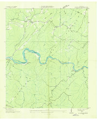
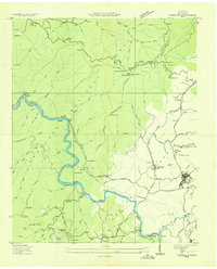
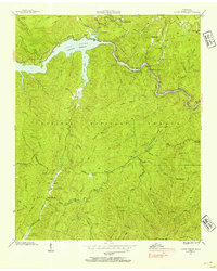
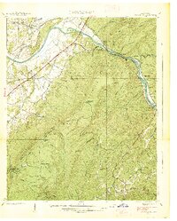
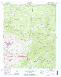
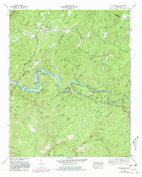
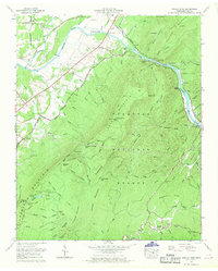
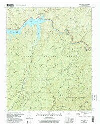
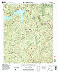
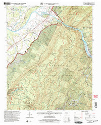
Editions of this 1957 Mc Farland Map
3 editions found
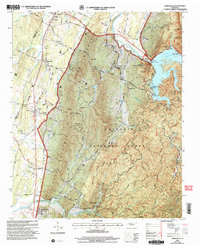
Historical Maps of Monroe County Through Time
21 maps found
1935 Caney Creek
Polk County, TN
1935 Oswald Bald
Polk County, TN
1935 Parksville
Polk County, TN
1936 Isabella
Polk County, TN
1936 Mc Farland
Polk County, TN
1936 Postelle
Polk County, TN
1937 Oswald Dome
Polk County, TN
1938 Caney Creek
Polk County, TN
1938 Oswald Dome
Polk County, TN
1942 Parksville
Polk County, TN
1943 Parksville
Polk County, TN
1957 Isabella
Polk County, TN
1957 Mc Farland
Polk County, TN
1966 Parksville
Polk County, TN
1967 Caney Creek
Polk County, TN
1967 Oswald Dome
Polk County, TN
1999 Caney Creek
Polk County, TN
2003 Caney Creek
Polk County, TN
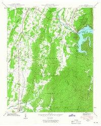
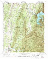
2003 Mc Farland
Polk County, TN
2003 Oswald Dome
Polk County, TN
2003 Parksville
Polk County, TN