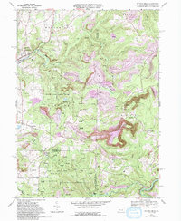
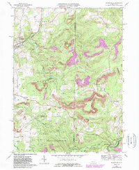
1968 Map of Mc Gees Mills
USGS Topo · Published 1994About this map
The West Branch Susquehanna River winds through the southeastern corner of this quadrangle, where the historic McGees Mills settlement and a noted Covered Bridge mark the landscape near an Old Railroad grade. This 1968 survey reveals a terrain defined by industry and conservation, with massive Strip Mine operations and later Reclaimed Strip Mine areas bordering protected territories like State Game Lands No 195 and State Game Lands No 174.
Find a feature on this map
46 named features on this map. Tap any name to fly to it.
Don’t see what you’re looking for? This feature index may not catch every label — zoom into the map to look around manually.
Map Details
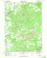
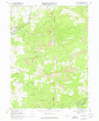
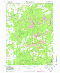
Editions of this 1968 Mc Gees Mills Map
5 editions found
Other maps of this area

1903 · Curwensville
USGS Topo · 1:62,500

1906 · Punxsutawney
USGS Topo · 1:62,500

1922 · Du Bois
USGS Topo · 1:62,500

1924 · Du Bois
USGS Topo · 1:62,500

1929 · Penfield
USGS Topo · 1:62,500

1932 · Penfield
USGS Topo · 1:62,500

1939 · Curwensville
USGS Topo · 1:62,500

1939 · Punxsutawney
USGS Topo · 1:62,500

1942 · Curwensville
USGS Topo · 1:62,500

1942 · Punxsutawney
USGS Topo · 1:62,500
Featured Places
- Gaskill Township, PA
- Banks Township, PA
- Hillman, Banks Township
- Sidney, Banks Township
- Keal Run, Banks Township