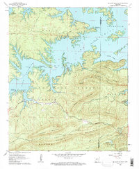
1962 Map of Mc Graw Mountain
USGS Topo · Published 1963About this map
Lake Ouachita dominates the northern landscape of this region, its indented shoreline creating numerous points and bends like Tompkins Bend and Denby Point. This survey, conducted in the early 1960s, reveals a terrain shaped by both water and timber, where the Ouachita National Forest blankets the high ridges of Hickorynut Mountain and Mc Graw Mountain. The development of public land is evident through numerous recreational sites such as Joplin Recreation Area and Charlton Recreation Area, alongside industrial landmarks like the Hickorynut Lookout Tower. Local history is preserved in small clearings and the Mazarn Valley, where family and community roots are marked at Little Fir Cem and Murphy Cem. The small settlement of Joplin serves as a central point for those navigating the creek-carved hills between Gap Creek and Irons Creek.
Find a feature on this map
33 named features on this map. Tap any name to fly to it.
Don’t see what you’re looking for? This feature index may not catch every label — zoom into the map to look around manually.
Map Details
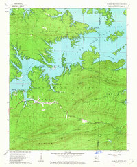
Editions of this 1962 Mc Graw Mountain Map
3 editions found

Other maps of this area

1890 · Mount Ida
USGS Topo · 1:125,000

1890 · Hot Springs
USGS Topo · 1:125,000

1894 · Hot Springs
USGS Topo · 1:125,000

1906 · Caddo Gap
USGS Topo · 1:125,000

1936 · Glenwood
USGS Topo · 1:48,000

1942 · Glenwood
USGS Topo · 1:62,500

1949 · Glenwood
USGS Topo · 1:62,500

1955 · Little Rock
USGS Topo · 1:250,000

1956 · Little Rock
USGS Topo · 1:250,000

1959 · Mount Ida
USGS Topo · 1:62,500