
1962 Map of Mc Graw Mountain
USGS Topo · Published 1963About this map
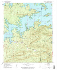
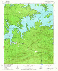
Lake Ouachita dominates the northern half of this landscape, its intricate shoreline carving deep into the Ouachita National Forest. The map captures the reservoir at its normal pool elevation 578, showing the recreational development that followed its creation, including the Tompkins Bend Recreation Area and Joplin Recreation Area. South of the water, the terrain rises sharply into a series of roughly parallel ridges, notably Hickorynut Mountain and Broken Rock Mountain.
Find a feature on this map
34 named features on this map. Tap any name to fly to it.
Don’t see what you’re looking for? This feature index may not catch every label — zoom into the map to look around manually.
Map Details
Editions of this 1962 Mc Graw Mountain Map
3 editions found
Other maps of this area

1890 · Mount Ida
USGS Topo · 1:125,000

1890 · Hot Springs
USGS Topo · 1:125,000

1894 · Hot Springs
USGS Topo · 1:125,000

1906 · Caddo Gap
USGS Topo · 1:125,000

1936 · Glenwood
USGS Topo · 1:48,000

1942 · Glenwood
USGS Topo · 1:62,500

1949 · Glenwood
USGS Topo · 1:62,500

1955 · Little Rock
USGS Topo · 1:250,000

1956 · Little Rock
USGS Topo · 1:250,000

1959 · Mount Ida
USGS Topo · 1:62,500