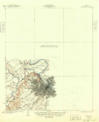
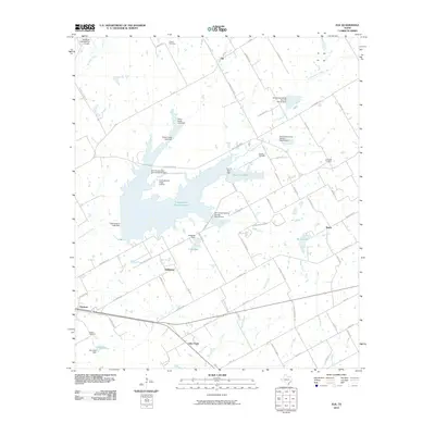
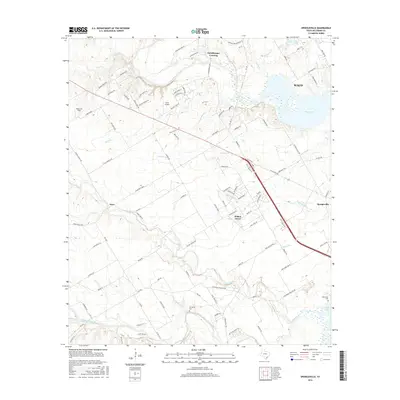
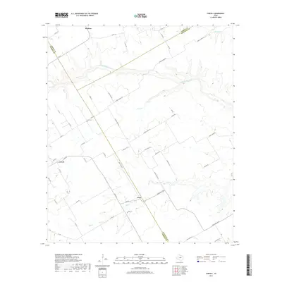
1931 Map of Mc Gregor
USGS Topo · Published 1949About this map
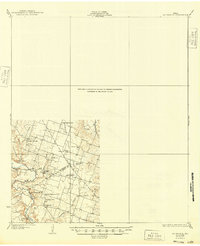
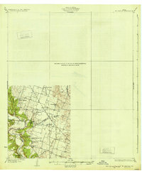
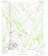
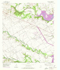
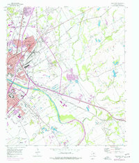
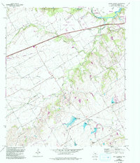
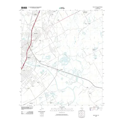
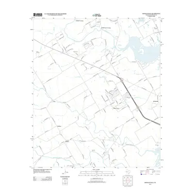
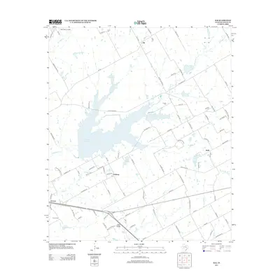
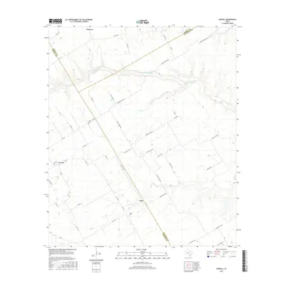
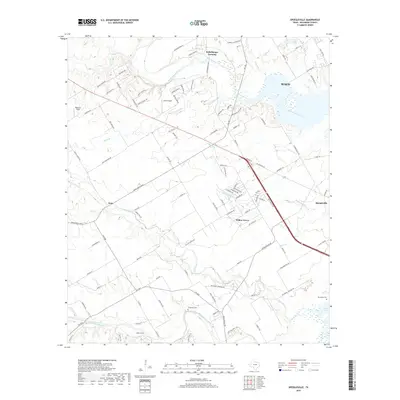
Stampede Valley serves as a primary corridor for settlement in this portion of Central Texas, where the boundaries of Bell, Coryell, and McLennan counties converge. The landscape is defined by the winding course of the Leon River, which is crossed by the prominent Holbrook Bridge. Significant cultural markers indicate a community deeply rooted in its schools and churches, particularly reflecting the region's ethnic heritage through the German Lutheran Ch and German Methodist Ch.
Find a feature on this map
23 named features on this map. Tap any name to fly to it.
Don’t see what you’re looking for? This feature index may not catch every label — zoom into the map to look around manually.
Map Details
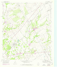
Editions of this 1931 Mc Gregor Map
2 editions found
Historical Maps of Waco Through Time
58 maps found
1924 Waco 3-d
McLennan County, TX
1924 Waco 4-c
McLennan County, TX
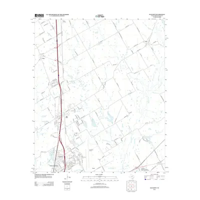
1931 Elm Mott
McLennan County, TX
1931 Mc Gregor
McLennan County, TX

1955 Coryell
McLennan County, TX
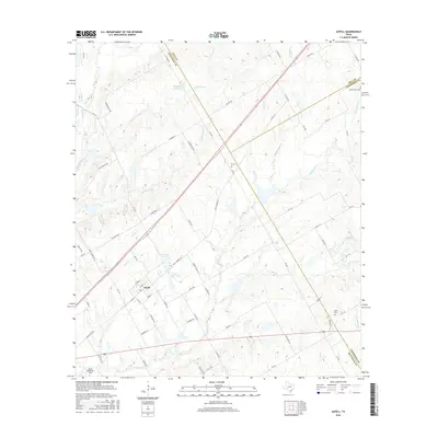
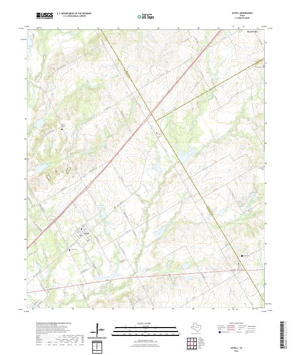
1956 Axtell
McLennan County, TX
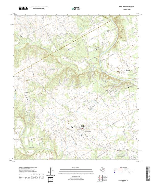
1957 China Springs
McLennan County, TX
1957 Elk
McLennan County, TX
1957 Elm Mott
McLennan County, TX
1957 Speegleville
McLennan County, TX
1957 Waco East
McLennan County, TX
1957 Waco West
McLennan County, TX
1965 South Bosque
McLennan County, TX
2010 Axtell
McLennan County, TX
2010 China Springs
McLennan County, TX
2010 Coryell
McLennan County, TX
2010 Elk
McLennan County, TX
2010 Elm Mott
McLennan County, TX
2010 South Bosque
McLennan County, TX
2010 Speegleville
McLennan County, TX
2010 Waco East
McLennan County, TX

2010 Waco West
McLennan County, TX
2012 China Springs
McLennan County, TX
2012 Coryell
McLennan County, TX
2012 South Bosque
McLennan County, TX
2012 Speegleville
McLennan County, TX
2012 Waco East
McLennan County, TX
2012 Waco West
McLennan County, TX
2013 Axtell
McLennan County, TX
2013 Elk
McLennan County, TX
2013 Elm Mott
McLennan County, TX
2016 Axtell
McLennan County, TX
2016 China Springs
McLennan County, TX
2016 Coryell
McLennan County, TX
2016 Elk
McLennan County, TX
2016 Elm Mott
McLennan County, TX
2016 South Bosque
McLennan County, TX
2016 Speegleville
McLennan County, TX
2016 Waco East
McLennan County, TX

2016 Waco West
McLennan County, TX
2019 Axtell
McLennan County, TX
2019 China Springs
McLennan County, TX
2019 Coryell
McLennan County, TX
2019 Elk
McLennan County, TX
2019 Elm Mott
McLennan County, TX
2019 South Bosque
McLennan County, TX
2019 Speegleville
McLennan County, TX
2019 Waco East
McLennan County, TX

2019 Waco West
McLennan County, TX
2022 Axtell
McLennan County, TX
2022 China Springs
McLennan County, TX
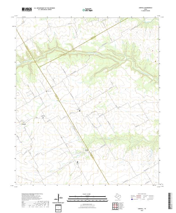
2022 Coryell
McLennan County, TX
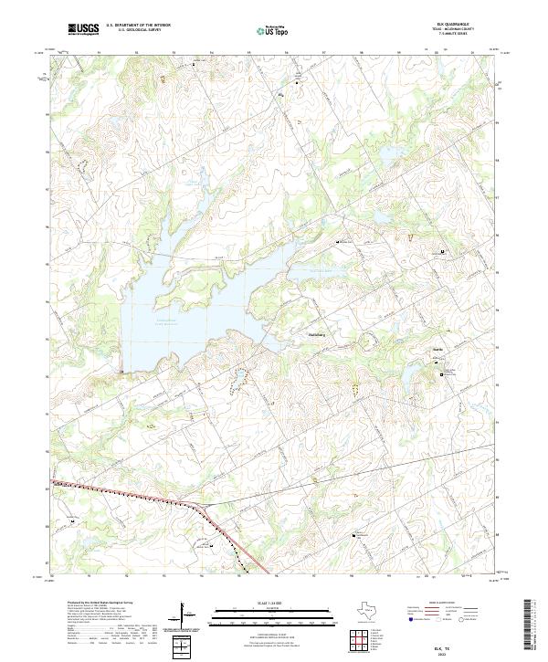
2022 Elk
McLennan County, TX
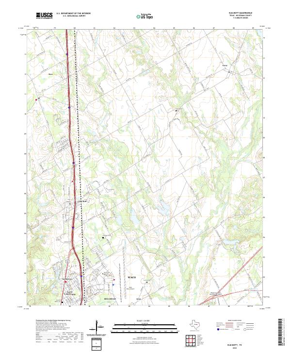
2022 Elm Mott
McLennan County, TX
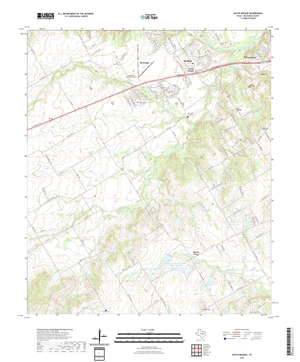
2022 South Bosque
McLennan County, TX
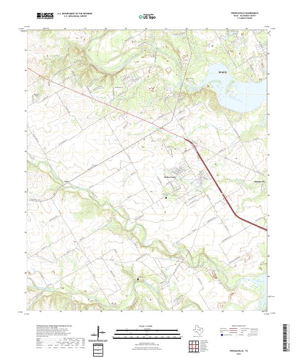
2022 Speegleville
McLennan County, TX
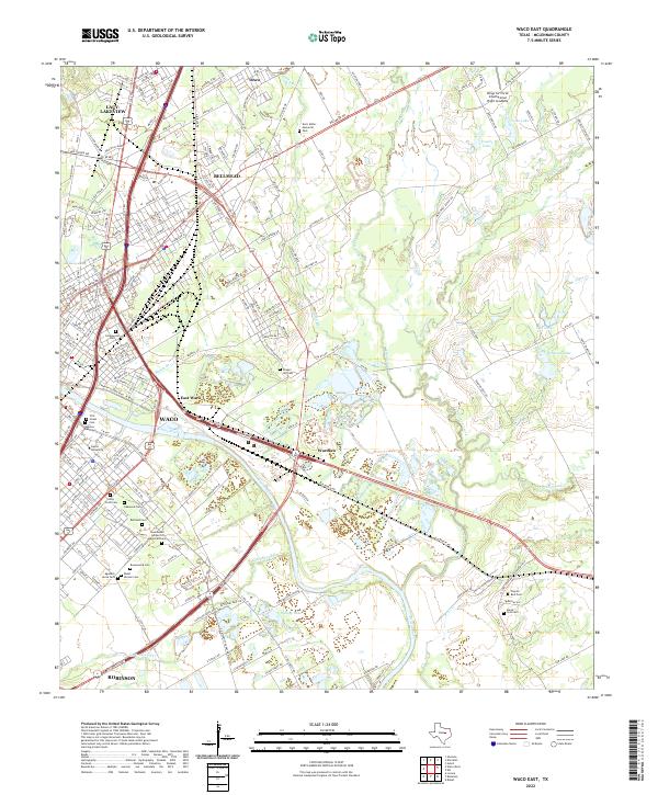
2022 Waco East
McLennan County, TX
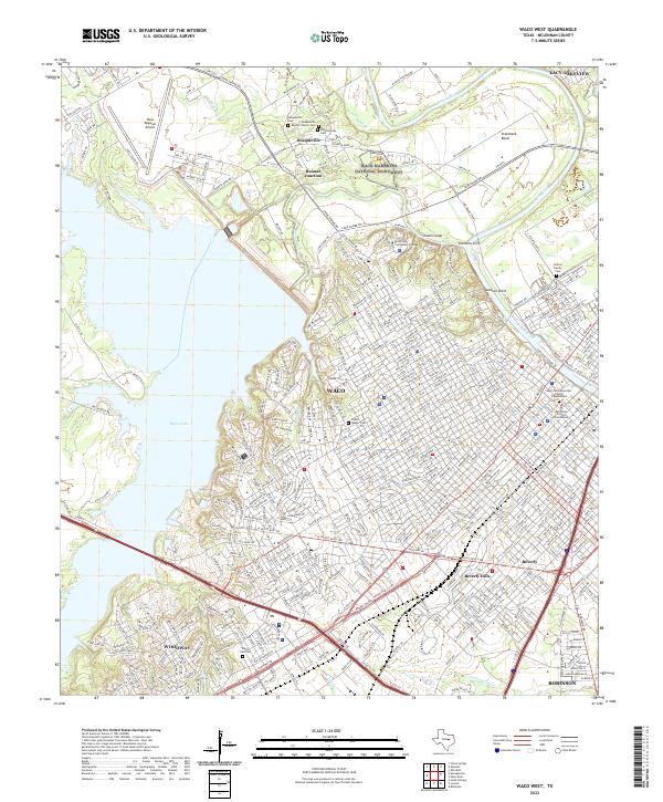
2022 Waco West
McLennan County, TX