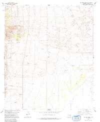
1973 Map of Mc Grew Spring
USGS Topo · Published 1992About this map
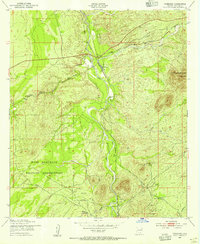
The Coronado National Forest boundary defines the western reaches of this Cochise County landscape, where the rugged terrain transitions from canyons into a network of dry washes and desert tanks. Early 1970s land use is evident through scattered mining activity, specifically at Ricketts Mine and the H & D Mine located near Guindani Canyon. These small-scale operations, along with various prospect sites, suggest a history of prospecting in the foothills before the terrain flattens toward the east.
Find a feature on this map
31 named features on this map. Tap any name to fly to it.
Don’t see what you’re looking for? This feature index may not catch every label — zoom into the map to look around manually.
Map Details
Editions of this 1973 Mc Grew Spring Map
2 editions found
Other maps of this area

1915 · Benson
USGS Topo · 1:125,000

1922 · St. David
USGS Topo · 1:62,500

1926 · Whetstone
USGS Topo · 1:62,500

1932 · Fairbank
USGS Topo · 1:62,500

1938 · Huachuca
USGS Topo · 1:62,500

1943 · Benson
USGS Topo · 1:125,000

1948 · Fort Huachuca NE
USGS Topo · 1:24,000
1948 · Mustang Mountains
USGS Topo · 1:24,000
1948 · Fort Huachuca
USGS Topo · 1:62,500
1952 · Fairbank
USGS Topo · 1:24,000