
1957 Map of Mc Henrys Peak
USGS Topo · Published 1959About this map
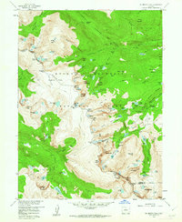
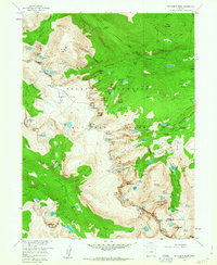
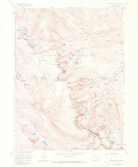
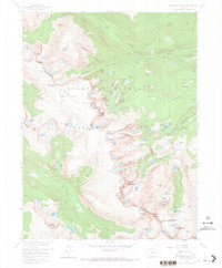
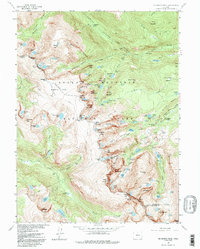
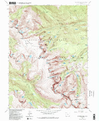
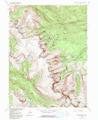
Mc Henrys Peak stands as a focal point along the Continental Divide in this mid-century survey of Rocky Mountain National Park. The landscape is defined by its extreme alpine topography, featuring the massive Tyndall Glacier and Andrews Glacier nestled among high summits like Hallett Peak and Otis Peak. The map documents the intricate drainage systems of the era, where Icy Brook flows through The Loch and the Tyndall Gorge carries snowmelt toward the valleys below.
Find a feature on this map
112 named features on this map. Tap any name to fly to it.
Don’t see what you’re looking for? This feature index may not catch every label — zoom into the map to look around manually.
Map Details
Editions of this 1957 Mc Henrys Peak Map
8 editions found
Other maps of this area

1915 · Longs Peak
USGS Topo · 1:125,000

1919 · Rocky Mountain National Park
USGS Topo · 1:125,000

1954 · Greeley
USGS Topo · 1:250,000

1957 · Greeley
USGS Topo · 1:250,000

1957 · Trail Ridge
USGS Topo · 1:24,000

1957 · Allens Park
USGS Topo · 1:24,000

1957 · Longs Peak
USGS Topo · 1:24,000

1957 · Estes Park
USGS Topo · 1:24,000

1958 · Greeley
USGS Topo · 1:250,000
1958 · Shadow Mountain
USGS Topo · 1:24,000