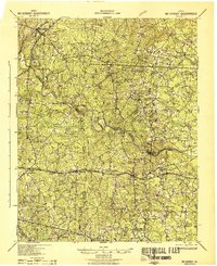
1943 Map of Mc Kenney
USGS Topo · Published 1943About this map
Nottoway River meanders across the central landscape, acting as a natural divider between Dinwiddie and Brunswick counties during the early 1940s. This survey, published by the Corps of Engineers, U. S. Army during wartime, reveals a deeply rural region organized around small settlements like Mc Kenney and Smoky Ordinary. The area is densely punctuated by social cornerstones, with dozens of family-named schools and churches such as Drumgoole School, Goodwyn School, and Big Bethel Church scattered throughout the woods and fields.
Find a feature on this map
59 named features on this map. Tap any name to fly to it.
Don’t see what you’re looking for? This feature index may not catch every label — zoom into the map to look around manually.
Map Details
Editions of this 1943 Mc Kenney Map
This is the sole edition of this map. No revisions or reprints were ever made.
Other maps of this area
1894 · Petersburg
USGS Topo · 1:62,500
1897 · Amelia
USGS Topo · 1:125,000
1918 · Lawrenceville
USGS Topo · 1:62,500
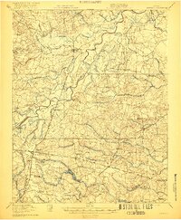
1919 · Jarratt
USGS Topo · 1:62,500
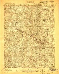
1919 · Mc Kenney
USGS Topo · 1:48,000
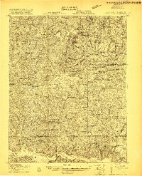
1919 · White Plains
USGS Topo · 1:48,000
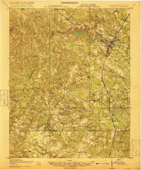
1919 · Emporia
USGS Topo · 1:62,500
1919 · Arringdale
USGS Topo · 1:48,000
1920 · Lawrenceville
USGS Topo · 1:48,000
1920 · White Plains
USGS Topo · 1:62,500