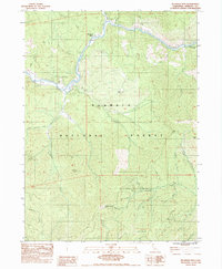
1983 Map of Mc Kinley Mtn
USGS Topo · Published 1983About this map
The Klamath River carves a dramatic path through the northern reaches of the Klamath National Forest on this 1980s survey. This portion of the Scott Bar Mountains reveals a landscape heavily defined by its gold-mining heritage, with numerous sites such as the Smith Mine, Commodore Mine, and Eliza Mine scattered across the steep gulches. These operations are concentrated along tributaries like Little Humbug Creek and McKinley Creek, illustrating the intense mineral prospecting that shaped Siskiyou County's development.
Find a feature on this map
44 named features on this map. Tap any name to fly to it.
Don’t see what you’re looking for? This feature index may not catch every label — zoom into the map to look around manually.
Map Details
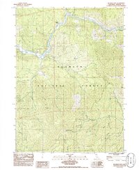
Editions of this 1983 Mc Kinley Mtn Map
2 editions found
Other maps of this area

1886 · Shasta
USGS Topo · 1:250,000

1894 · Shasta
USGS Topo · 1:250,000

1932 · Yreka
USGS Topo · 1:96,000

1939 · Yreka
USGS Topo · 1:125,000

1948 · Weed
USGS Topo · 1:250,000

1950 · Weed
USGS Topo · 1:250,000

1954 · Yreka
USGS Topo · 1:62,500

1955 · Condrey Mtn
USGS Topo · 1:62,500
1955 · Hornbrook
USGS Topo · 1:62,500
1955 · Fort Jones
USGS Topo · 1:62,500