
1951 Map of Mc Kinley
USGS Topo · Published 1951About this map
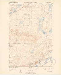
Missabe Mountain dominates the landscape of the Mesabi Range in the early 1950s, a period defined by the intensive extraction of iron ore. The map reveals the industrial footprint of the era through extensive Mine Dumps and active operations like the Corsica Mine. Settlements are tightly clustered around these industrial centers, with McKinley, Elcor, and Biwabik serving as primary hubs connected by the Duluth Missabe and Iron Range railroad.
Find a feature on this map
29 named features on this map. Tap any name to fly to it.
Don’t see what you’re looking for? This feature index may not catch every label — zoom into the map to look around manually.
Map Details
Editions of this 1951 Mc Kinley Map
2 editions found
Other maps of this area

1950 · Biwabik
USGS Topo · 1:24,000

1950 · Mc Kinley
USGS Topo · 1:24,000

1950 · Biwabik NW
USGS Topo · 1:24,000

1950 · Biwabik NE
USGS Topo · 1:24,000

1951 · Biwabik
USGS Topo · 1:24,000

1951 · Biwabik NE
USGS Topo · 1:24,000

1951 · Biwabik NW
USGS Topo · 1:24,000

1951 · Palo
USGS Topo · 1:24,000

1951 · Gilbert
USGS Topo · 1:24,000

1951 · Eveleth
USGS Topo · 1:24,000