
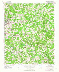
1952 Map of Mc Leansville
USGS Topo · Published 1953About this map
The rolling landscape of eastern Guilford County is captured here just as post-war suburban growth began to reach beyond the Bessemer area. The drainage of North Buffalo Creek and South Buffalo Creek dictates the local geography, providing the power for industrial remnants like Troxlers Mill and Stewarts Mill. The eastern portion of the map remains largely rural and agrarian, defined by scattered communities such as McLeansville and Sedalia.
Find a feature on this map
46 named features on this map. Tap any name to fly to it.
Don’t see what you’re looking for? This feature index may not catch every label — zoom into the map to look around manually.
Map Details
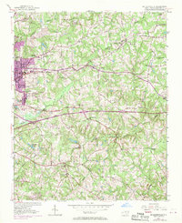
Editions of this 1952 Mc Leansville Map
Other maps of this area

1951 · Lake Brandt
USGS Topo · 1:24,000

1951 · Browns Summit
USGS Topo · 1:24,000

1951 · Greensboro
USGS Topo · 1:24,000

1953 · Raleigh
USGS Topo · 1:250,000

1953 · Greensboro
USGS Topo · 1:250,000

1954 · Greensboro
USGS Topo · 1:250,000

1954 · Raleigh
USGS Topo · 1:250,000

1962 · Greensboro
USGS Topo · 1:250,000

1966 · Greensboro
USGS Topo · 1:250,000

1970 · Gibsonville
USGS Topo · 1:24,000