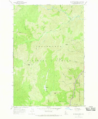
1966 Map of Mc Lendon Butte
USGS Topo · Published 1969About this map
Obia Cabin and the high country of the Clearwater National Forest dominate this mid-1960s survey of Idaho's interior. The landscape is defined by a dense network of watercourses and elevation markers, centered on the prominent Mc Lendon Butte. The southeastern corner reveals the transition into the Selway-Bitterroot Wilderness, where the Lochsa River carves through a deep canyon near Shoestring Falls.
Find a feature on this map
38 named features on this map. Tap any name to fly to it.
Don’t see what you’re looking for? This feature index may not catch every label — zoom into the map to look around manually.
Map Details
Editions of this 1966 Mc Lendon Butte Map
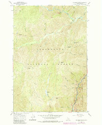
2 editions found
Other maps of this area

1911 · Lolo
USGS Topo · 1:250,000

1913 · Lolo
USGS Topo · 1:250,000

1924 · Weippe
USGS Topo · 1:125,000

1956 · Hamilton
USGS Topo · 1:250,000

1959 · Hamilton
USGS Topo · 1:250,000

1960 · Hamilton
USGS Topo · 1:250,000

1964 · Hamilton
USGS Topo · 1:250,000

1966 · Lowell
USGS Topo · 1:24,000
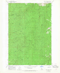
1966 · Snowy Summit
USGS Topo · 1:24,000
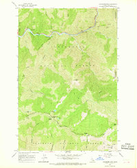
1966 · Coolwater Mtn
USGS Topo · 1:24,000