
1893 Map of Mc Minnville
USGS Topo · Published 1893About this map
McMinnville and Smithville anchor this 1890s survey of Middle Tennessee, where the winding Caney Fork River and Collins River dictated the movement of commerce and people. Numerous water-powered industries like Wells Mill, Magness Mills, and Daly Mill are documented along the riverbanks, illustrating the late-19th-century reliance on local milling. The landscape is defined by the transition from the high ridges of Pea Ridge and Spartan Mountain into the fertile river valleys.
Find a feature on this map
171 named features on this map. Tap any name to fly to it.
Don’t see what you’re looking for? This feature index may not catch every label — zoom into the map to look around manually.
Map Details
Editions of this 1893 Mc Minnville Map
This is the sole edition of this map. No revisions or reprints were ever made.
Other maps of this area

1888 · Chattanooga
USGS Topo · 1:125,000

1892 · Pikeville
USGS Topo · 1:125,000

1893 · Chattanooga
USGS Topo · 1:125,000

1895 · Mc Minnville
USGS Topo · 1:125,000

1895 · Sewanee
USGS Topo · 1:125,000

1895 · Pikeville
USGS Topo · 1:125,000

1897 · Standingstone
USGS Topo · 1:125,000

1898 · Standingstone
USGS Topo · 1:125,000
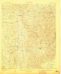
1908 · Woodbury
USGS Topo · 1:62,500
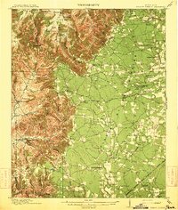
1913 · Hollow Springs
USGS Topo · 1:62,500