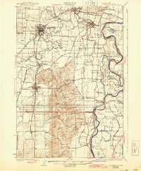
1926 Map of Mc Minnville
USGS Topo · Published 1943About this map
The Yamhill River and Willamette River dictate the rhythm of life in this mid-1920s Willamette Valley landscape, where the Yamhill Locks and the Wheatland Ferry serve as critical transit points for a river-dependent economy. The terrain transitions from the low-lying Mission Bottom and the expansive Grand Island to the prominent Amity Hills and Eola Crest.
Find a feature on this map
77 named features on this map. Tap any name to fly to it.
Don’t see what you’re looking for? This feature index may not catch every label — zoom into the map to look around manually.
Map Details
Editions of this 1926 Mc Minnville Map
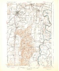
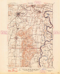
4 editions found
Other maps of this area

1915 · Rickreall
USGS Topo · 1:31,680

1915 · Eola
USGS Topo · 1:31,680

1916 · Tualatin
USGS Topo · 1:62,500

1917 · Salem
USGS Topo · 1:62,500

1923 · Mount Angel
USGS Topo · 1:62,500

1924 · Mc Minnville
USGS Topo · 1:48,000

1925 · Stayton
USGS Topo · 1:62,500

1926 · Mc Minnville
USGS Topo · 1:62,500

1939 · Tualatin
USGS Topo · 1:62,500

1940 · McMinnville
USGS Topo · 1:62,500