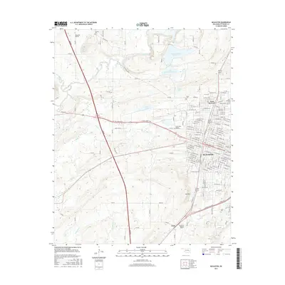
2016 Map of McAlester
USGS Topo · Published 2016About this map
Mcalester and its northern counterpart North McAlester serve as the focal point for this Pittsburg County study, revealing a landscape defined by industrial infrastructure and civic institutions. The map details a significant concentration of specialized sites, including the Prison Lake, Prison Cem, and the Central State Hospital Annex Cem, reflecting the area's history as a center for state facilities. Transportation is dominated by the Turnpike and the S George Nigh Expy, which cut through a terrain marked by numerous small water bodies such as Lake Talawanda Number One and Youth Lake.
Find a feature on this map
109 named features on this map. Tap any name to fly to it.
Don’t see what you’re looking for? This feature index may not catch every label — zoom into the map to look around manually.
Map Details
Editions of this 2016 McAlester Map
This is the sole edition of this map. No revisions or reprints were ever made.
Other maps of this area

1898 · McAlester
USGS Topo · 1:125,000

1900 · Canadian
USGS Topo · 1:125,000

1909 · Mc Alester
USGS Topo · 1:125,000

1946 · Fort Smith
USGS Topo · 1:250,000

1950 · Mcalester
USGS Topo · 1:250,000

1962 · McAlester
USGS Topo · 1:250,000

1965 · Fort Smith
USGS Topo · 1:250,000

1965 · McAlester
USGS Topo · 1:250,000
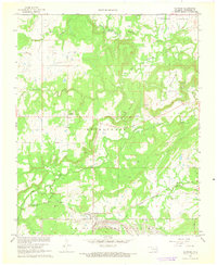
1966 · Haywood
USGS Topo · 1:24,000

1967 · Fort Smith
USGS Topo · 1:250,000