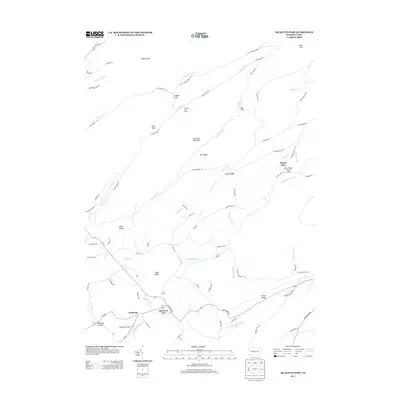
2013 Map of McAlevys Fort
USGS Topo · Published 2013About this map
McAlevys Fort and Ennisville anchor the southern portion of this central Pennsylvania landscape, where the valley floor transitions into the complex ridges of the Appalachian Mountains. The terrain is defined by prominent elevations such as Greenlee Mountain, Koch Ridge, and Bell Ridge, which dictate the winding paths of Standing Stone Cr and Laurel Run. A legacy of New Deal-era conservation work is visible at the Owl Gap CCC Camp, situated near Hubler Gap. The eastern side of the map features the Alan Seeger Picnic Area and the Seeger Place, while the southeastern corner includes the site of Greenwood Furnace. Small-scale aviation is represented by Hostetler Airport, and local industry includes the Greenwood Nursery. This 2013 survey provides a detailed look at the rural road network, including Stone Creek Rd and Beidlerheimer Rd, connecting the scattered hollows and mountain gaps.
Find a feature on this map
75 named features on this map. Tap any name to fly to it.
Don’t see what you’re looking for? This feature index may not catch every label — zoom into the map to look around manually.
Map Details
Editions of this 2013 McAlevys Fort Map
This is the sole edition of this map. No revisions or reprints were ever made.
Other maps of this area

1908 · Bellefonte
USGS Topo · 1:62,500

1909 · Bellefonte
USGS Topo · 1:62,500

1919 · Menno
USGS Topo · 1:62,500

1924 · Centre Hall
USGS Topo · 1:62,500

1924 · Lewistown
USGS Topo · 1:62,500

1927 · Lewisburg
USGS Topo · 1:62,500

1929 · Centre Hall
USGS Topo · 1:62,500

1935 · Allensville
USGS Topo · 1:62,500

1938 · Allensville
USGS Topo · 1:62,500

1943 · Lewistown
USGS Topo · 1:125,000
Featured Places
- McAlevys Fort, Jackson Township
- Harris Township, PA
- Barree Township, PA
- Jackson Township, PA
- Union Township, PA