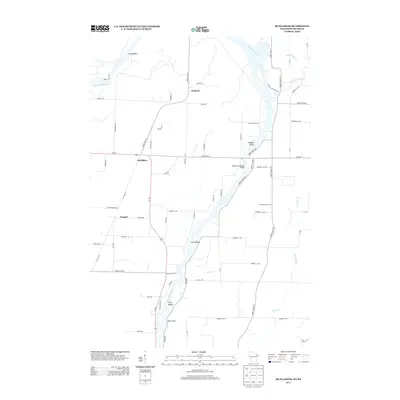
2013 Map of McAllister
USGS Topo · Published 2013About this map
The Menominee River serves as the central artery for this borderland between Wisconsin and Michigan, carving a path through a landscape of riverine islands and small settlements. The communities of McAllister and Wagner are situated along the primary north-south corridor of Wi-180, while Packard lies further north near the river’s sweeping Long Reach. The river geography is notably defined by features like Maggies Island, Long Island, and Twin Island, with the Wallace McAllister Bridge providing a critical crossing point near the DeYoung Family Zoo.
Find a feature on this map
73 named features on this map. Tap any name to fly to it.
Don’t see what you’re looking for? This feature index may not catch every label — zoom into the map to look around manually.
Map Details
Editions of this 2013 McAllister Map
This is the sole edition of this map. No revisions or reprints were ever made.
Other maps of this area

1939 · Marinette
USGS Topo · 1:48,000

1939 · Porterfield
USGS Topo · 1:48,000

1942 · Porterfield
USGS Topo · 1:48,000

1942 · Wausaukee
USGS Topo · 1:48,000

1947 · Wausaukee
USGS Topo · 1:48,000

1949 · Stephenson
USGS Topo · 1:48,000

1954 · Escanaba
USGS Topo · 1:250,000

1957 · Escanaba
USGS Topo · 1:250,000

1958 · Escanaba
USGS Topo · 1:250,000

1963 · Porterfield
USGS Topo · 1:62,500