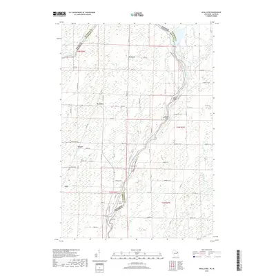
2018 Map of McAllister
USGS Topo · Published 2018About this map
The Menominee River serves as the winding centerpiece of this landscape, defining the interstate boundary between Wisconsin and Michigan. Along its course, several named islands like Maggie Island and Long Island break the current, while the Wallace-McAllister Bridge provides a vital link across the water. The surrounding area in Marinette County is dotted with small rural communities and named crossroads, including McAllister, Wagner, and Packard. This 2018 survey reveals a terrain dominated by wetlands and complex water systems, where Kelley Cr and Little Cedar River join the larger river network. For those researching local roots, the map provides precise locations for Saint Edwards Cem near Wagner and Mellen Cem to the east. The presence of Old Rail Rd suggests the historical path of timber or transit lines that once supported the local economy.
Find a feature on this map
78 named features on this map. Tap any name to fly to it.
Don’t see what you’re looking for? This feature index may not catch every label — zoom into the map to look around manually.
Map Details
Editions of this 2018 McAllister Map
This is the sole edition of this map. No revisions or reprints were ever made.
Other maps of this area

1939 · Marinette
USGS Topo · 1:48,000

1939 · Porterfield
USGS Topo · 1:48,000

1942 · Porterfield
USGS Topo · 1:48,000

1942 · Wausaukee
USGS Topo · 1:48,000

1947 · Wausaukee
USGS Topo · 1:48,000

1949 · Stephenson
USGS Topo · 1:48,000

1954 · Escanaba
USGS Topo · 1:250,000

1957 · Escanaba
USGS Topo · 1:250,000

1958 · Escanaba
USGS Topo · 1:250,000

1963 · Porterfield
USGS Topo · 1:62,500