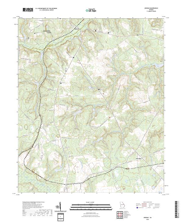
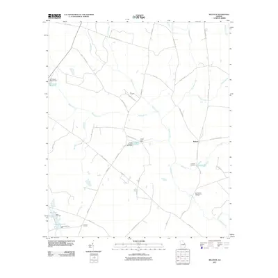
2024 Map of McBean
USGS Topo · Published 2024About this map
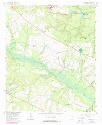
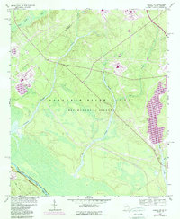
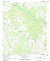
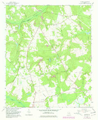
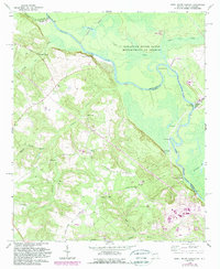
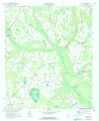
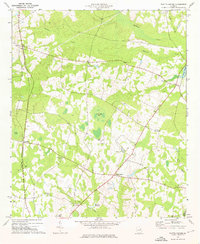
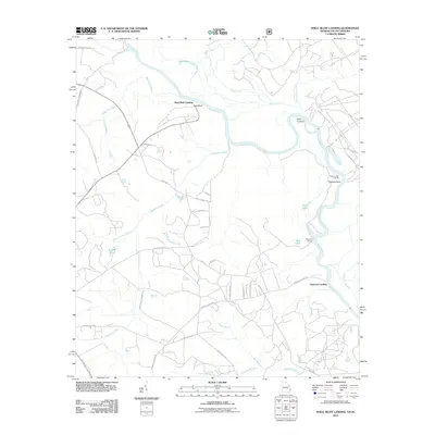
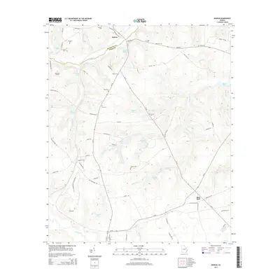
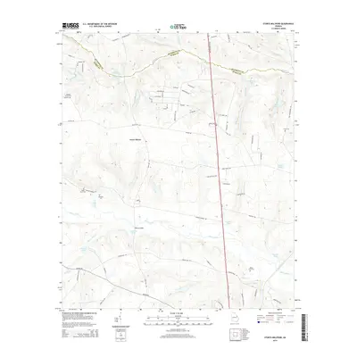
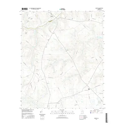
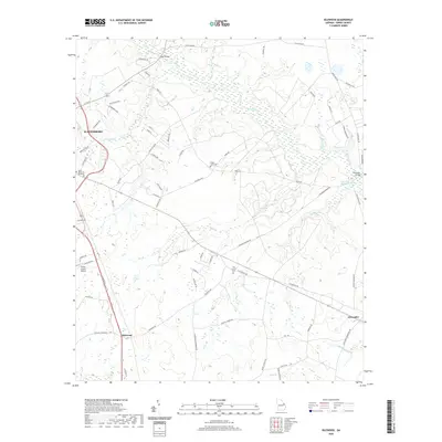
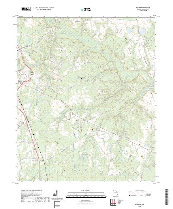
McBean and the surrounding Burke County countryside are defined by a complex network of waterways and family landmarks south of Augusta. The terrain is shaped by the winding courses of McBean Creek and Boggy Gut Creek, which feed into numerous named impoundments such as Southland Timber Lake, Hagler Lake, and Fryhofer Lake. This area reflects a long-established rural settlement pattern where genealogy is tied closely to the land, evidenced by the numerous family burial grounds scattered across the landscape, including Cosnahan Cem, Knight Cem, and Usher Cem. The community of Shell Bluff sits near the eastern edge of the quadrangle, while the presence of Sandy Hill Airport indicates modern transportation hubs integrated into this agricultural and timber-producing region. The boundary between Richmond Co and Burke Co follows the natural path of the creek, anchoring the political geography to the local hydrology.
Find a feature on this map
78 named features on this map. Tap any name to fly to it.
Don’t see what you’re looking for? This feature index may not catch every label — zoom into the map to look around manually.
Map Details
Editions of this 2024 McBean Map
This is the sole edition of this map. No revisions or reprints were ever made.
Historical Maps of Augusta Through Time
45 maps found
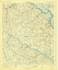
1920 Greens Cut
Burke County, GA
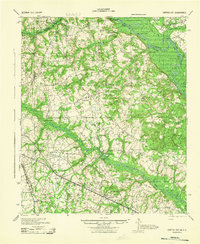
1943 Greens Cut
Burke County, GA
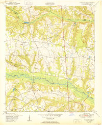
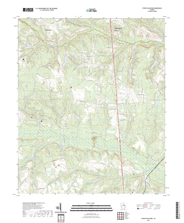
1950 Storys Millpond
Burke County, GA
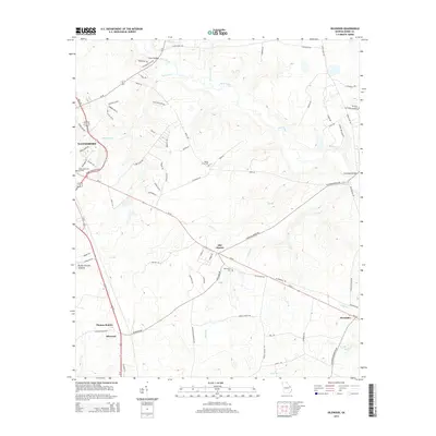
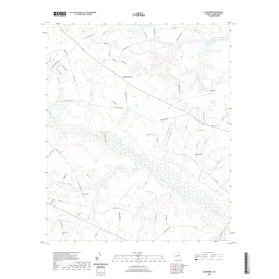
1964 Alexander
Burke County, GA
1964 Girard NW
Burke County, GA
1964 Idlewood
Burke County, GA
1964 Mc Bean
Burke County, GA
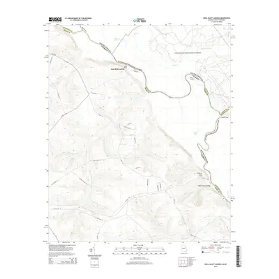
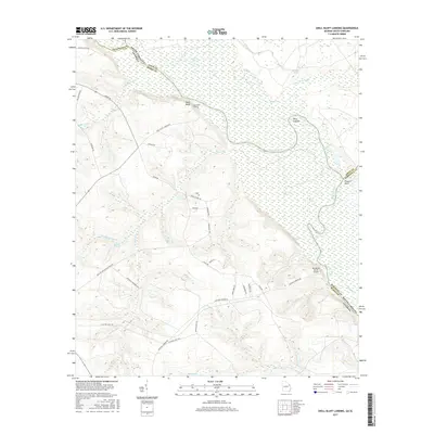
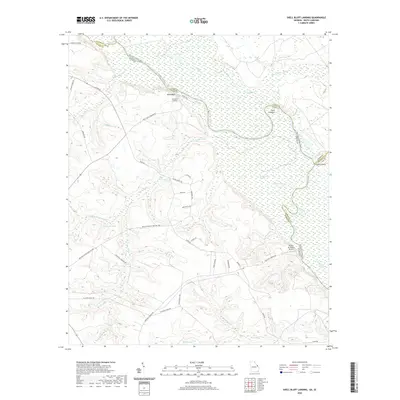
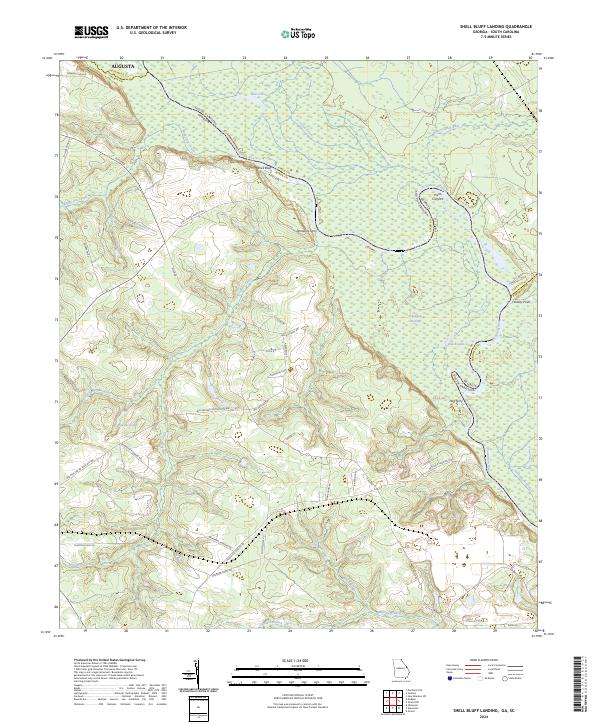
1965 Shell Bluff Landing
Burke County, GA
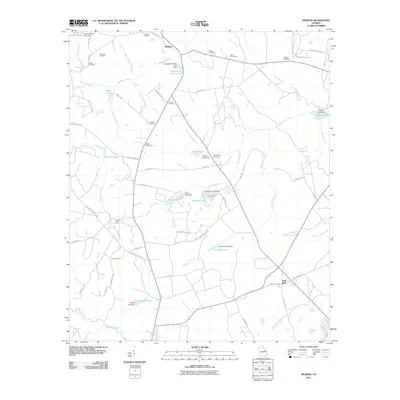
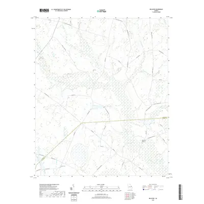
1974 Bellevue
Burke County, GA
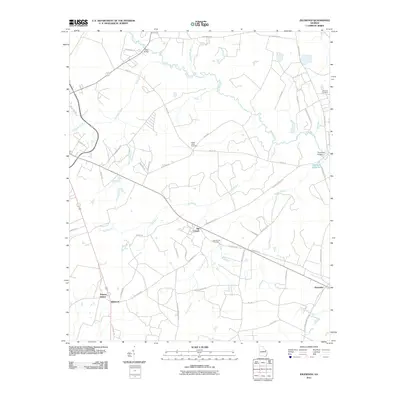
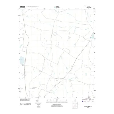
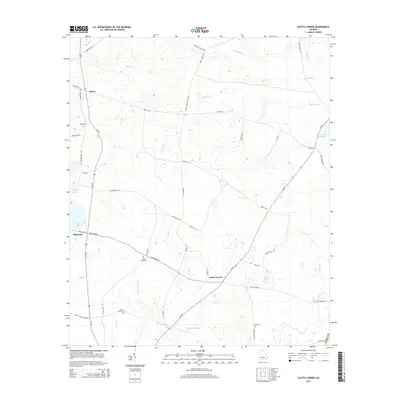
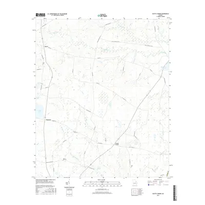
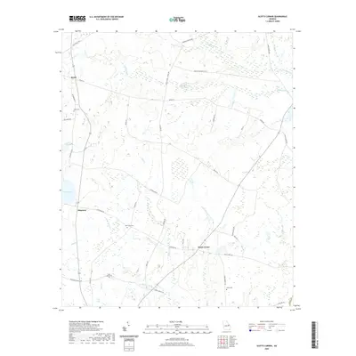
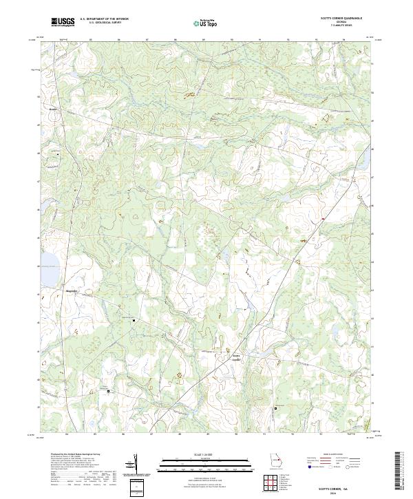
1974 Scotts Corner
Burke County, GA
2011 Alexander
Burke County, GA
2011 Bellevue
Burke County, GA
2011 Idlewood
Burke County, GA
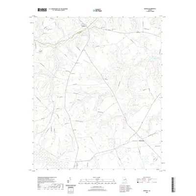
2011 McBean
Burke County, GA
2011 Scotts Corner
Burke County, GA
2011 Shell Bluff Landing
Burke County, GA
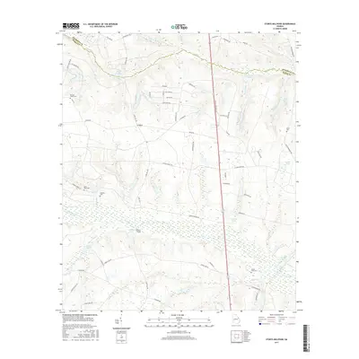
2011 Storys Millpond
Burke County, GA
2014 Alexander
Burke County, GA
2014 Bellevue
Burke County, GA
2014 Idlewood
Burke County, GA
2014 McBean
Burke County, GA
2014 Scotts Corner
Burke County, GA
2014 Shell Bluff Landing
Burke County, GA
2014 Storys Millpond
Burke County, GA
2017 Alexander
Burke County, GA
2017 Bellevue
Burke County, GA
2017 Idlewood
Burke County, GA
2017 McBean
Burke County, GA
2017 Scotts Corner
Burke County, GA
2017 Shell Bluff Landing
Burke County, GA
2017 Storys Millpond
Burke County, GA
2020 Alexander
Burke County, GA
2020 Bellevue
Burke County, GA
2020 Idlewood
Burke County, GA
2020 McBean
Burke County, GA
2020 Scotts Corner
Burke County, GA
2020 Shell Bluff Landing
Burke County, GA

2020 Storys Millpond
Burke County, GA
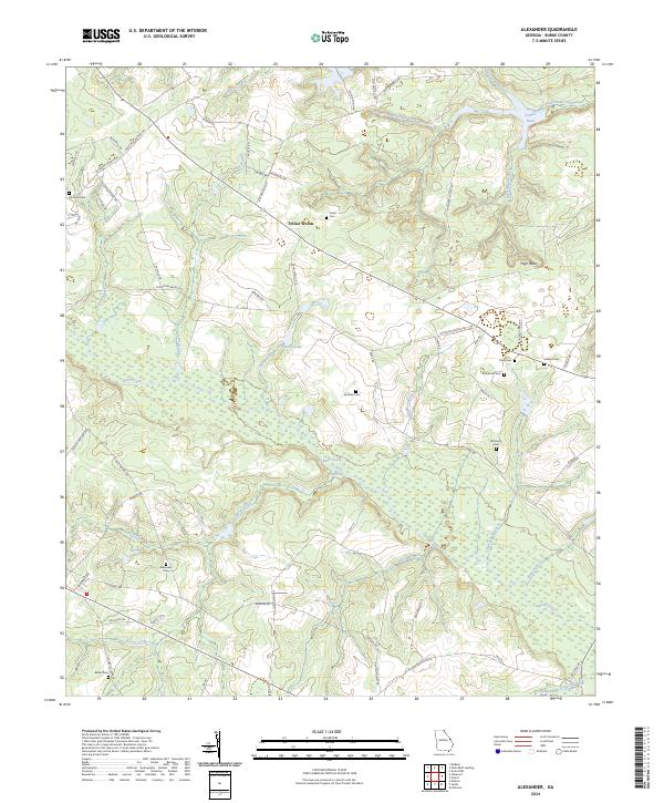
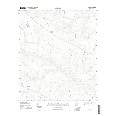
2024 Alexander
Burke County, GA
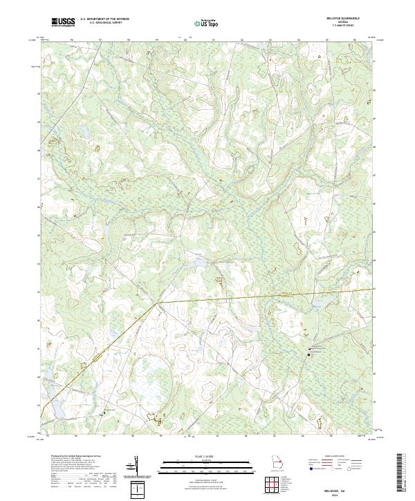
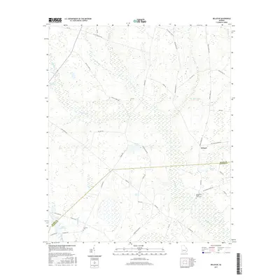
2024 Bellevue
Burke County, GA
2024 Idlewood
Burke County, GA
2024 McBean
Burke County, GA
2024 Scotts Corner
Burke County, GA
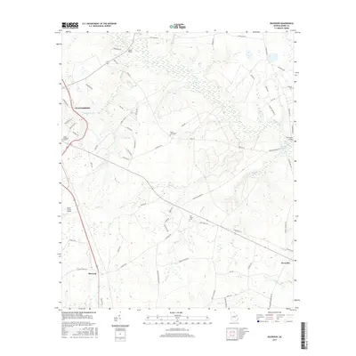
2024 Shell Bluff Landing
Burke County, GA
2024 Storys Millpond
Burke County, GA