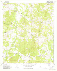
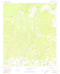
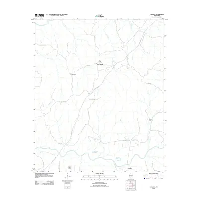
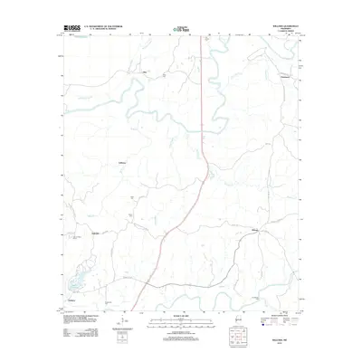
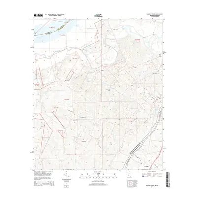
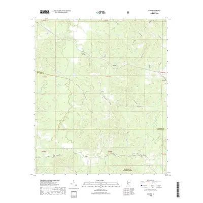
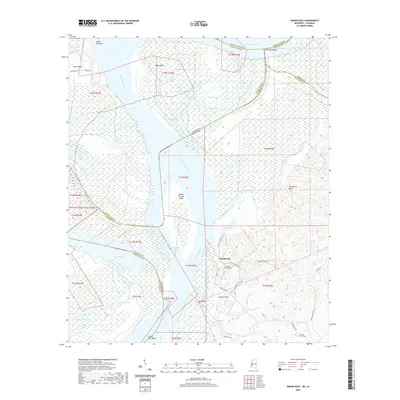
1963 Map of McBride
USGS Topo · Published 1979About this map
The rolling timberlands of the Homochitto National Forest define the southern portion of this region along the border of Claiborne and Jefferson Counties. This 1960s landscape is deeply dissected by a network of waterways including Clarks Creek, Buckins Creek, and Johnson Creek, which shaped the distribution of early rural settlements. Small community hubs like McBride and Blue Hill are anchored by family names and country congregations, reflecting a quiet era of Mississippi agriculture and forestry before modern development.
Find a feature on this map
41 named features on this map. Tap any name to fly to it.
Don’t see what you’re looking for? This feature index may not catch every label — zoom into the map to look around manually.
Map Details
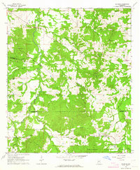
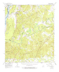
Editions of this 1963 McBride Map
2 editions found
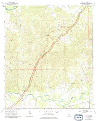
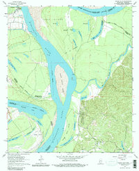
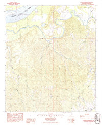
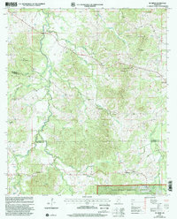
Historical Maps of Violet Through Time
32 maps found
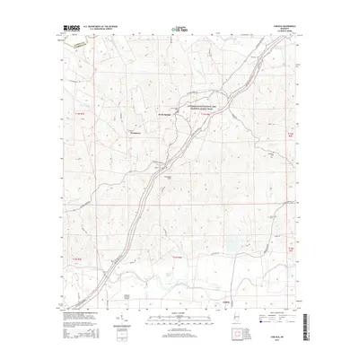
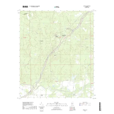
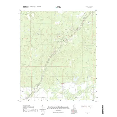
1963 Carlisle
Claiborne County, MS
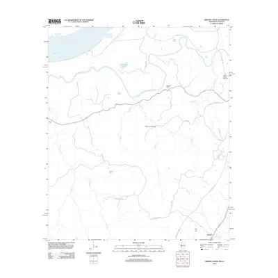
1963 Grand Gulf
Claiborne County, MS
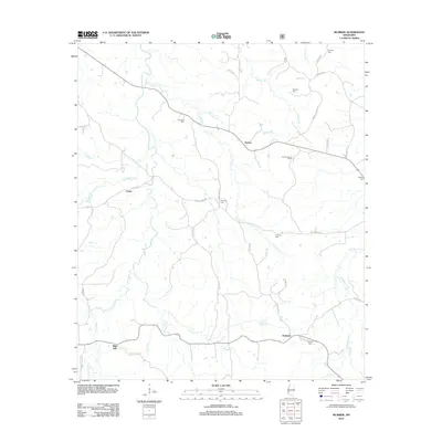
1963 McBride
Claiborne County, MS
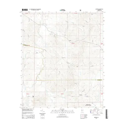
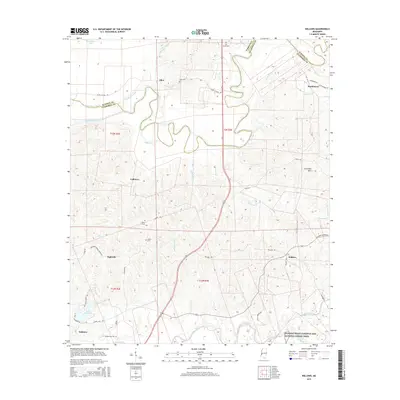
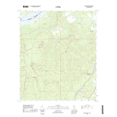
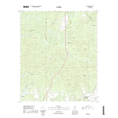
1963 Willows
Claiborne County, MS
1966 Yokena
Claiborne County, MS
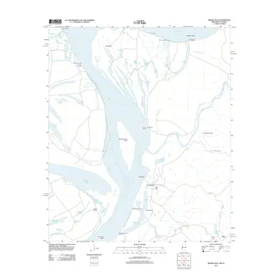
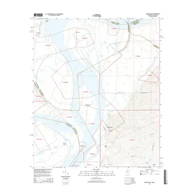
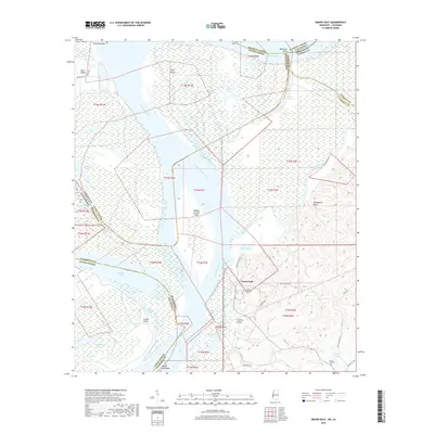
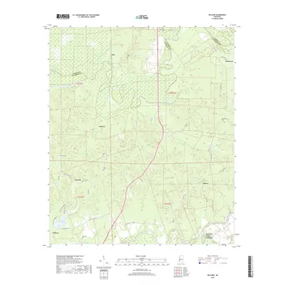
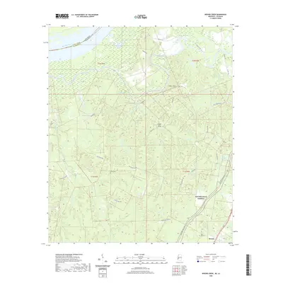
1986 Widows Creek
Claiborne County, MS
2000 McBride
Claiborne County, MS
2012 Carlisle
Claiborne County, MS
2012 Grand Gulf
Claiborne County, MS
2012 McBride
Claiborne County, MS
2012 Widows Creek
Claiborne County, MS
2012 Willows
Claiborne County, MS
2015 Carlisle
Claiborne County, MS
2015 Grand Gulf
Claiborne County, MS
2015 McBride
Claiborne County, MS
2015 Widows Creek
Claiborne County, MS
2015 Willows
Claiborne County, MS
2018 Carlisle
Claiborne County, MS
2018 Grand Gulf
Claiborne County, MS
2018 McBride
Claiborne County, MS
2018 Widows Creek
Claiborne County, MS
2018 Willows
Claiborne County, MS
2020 Carlisle
Claiborne County, MS
2020 Grand Gulf
Claiborne County, MS
2020 Widows Creek
Claiborne County, MS
2020 Willows
Claiborne County, MS
2021 McBride
Claiborne County, MS
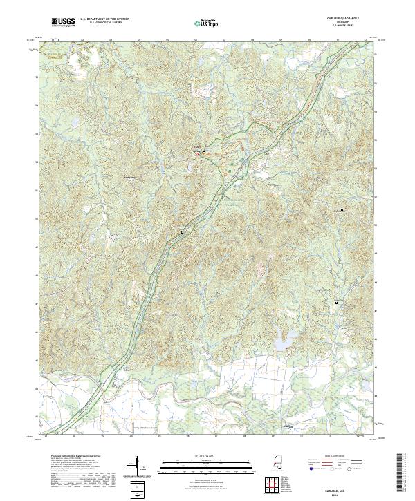
2024 Carlisle
Claiborne County, MS
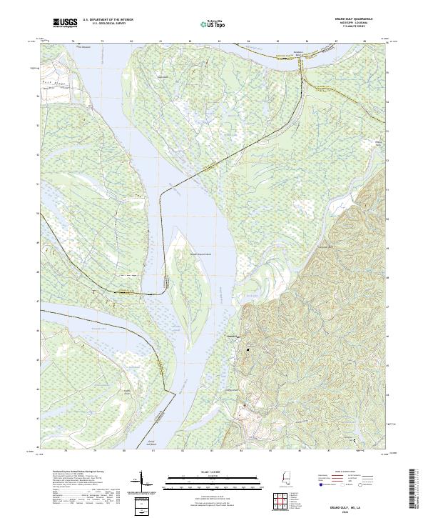
2024 Grand Gulf
Claiborne County, MS
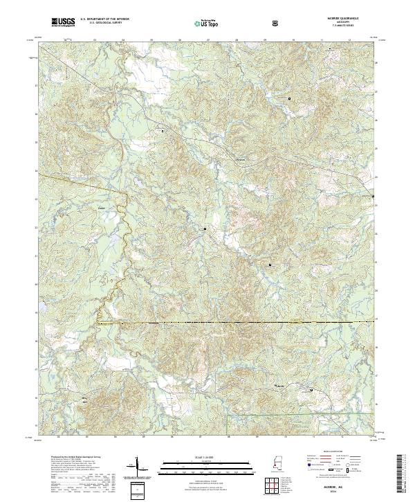
2024 McBride
Claiborne County, MS
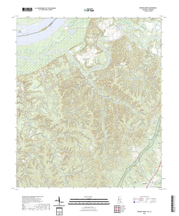
2024 Widows Creek
Claiborne County, MS
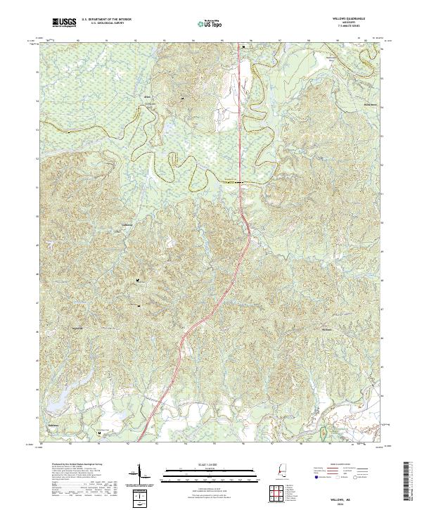
2024 Willows
Claiborne County, MS