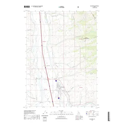
2020 Map of McCammon
USGS Topo · Published 2020About this map
McCammon serves as the focal point for this study of the Portneuf Valley, where modern infrastructure meets the high desert landscape of southeastern Idaho. The town's grid, including streets like Bannock St and State St, is positioned at a critical geographic junction where the Portneuf River emerges from the mountains to meet the broad Marsh Valley. This area demonstrates a complex relationship between natural water systems and early 20th-century engineering, evidenced by the Portneuf Marsh Valley Canal winding through the valley floor alongside Marsh Creek. To the east, the terrain rises sharply into the Portneuf Range, much of which is protected within the Caribou National Forest. The mountain landscape is deeply etched by features like Mullen Canyon and Dry Canyon, while historical pathways such as the Lower Robbers Roost Trail near the namesake Robbers Roost suggest the region's rugged frontier history.
Find a feature on this map
57 named features on this map. Tap any name to fly to it.
Don’t see what you’re looking for? This feature index may not catch every label — zoom into the map to look around manually.
Map Details
Editions of this 2020 McCammon Map
This is the sole edition of this map. No revisions or reprints were ever made.
Other maps of this area

1937 · Pocatello
USGS Topo · 1:48,000

1944 · Pocatello
USGS Topo · 1:62,500

1954 · Pocatello
USGS Topo · 1:250,000

1958 · Pocatello
USGS Topo · 1:250,000

1968 · Bear Camp Gulch
USGS Topo · 1:24,000

1968 · Hawkins
USGS Topo · 1:24,000

1968 · Lava Hot Springs
USGS Topo · 1:24,000
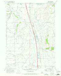
1968 · Arimo
USGS Topo · 1:24,000
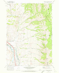
1968 · Bonneville Peak
USGS Topo · 1:24,000
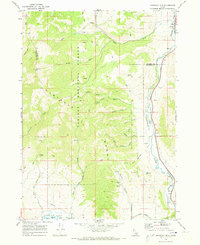
1968 · Haystack Mtn
USGS Topo · 1:24,000