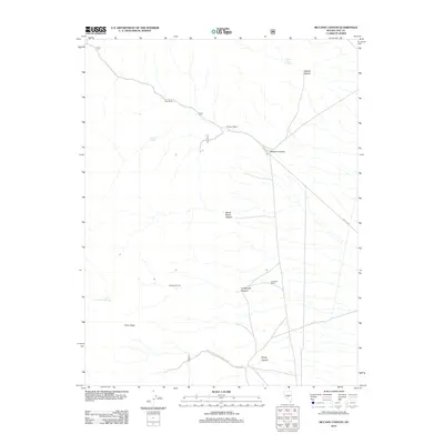
2012 Map of McCann Canyon
USGS Topo · Published 2012About this map
Nay Ranch and McCann Station anchor the northern landscape of this Nye County quadrangle, situated along a primary corridor through the high basin and range. The presence of remote outposts like Longstreet Ranch and Lone Tree Ranch further south reflects the dispersed ranching infrastructure necessary to survive in this arid environment. The map details a complex network of canyons, including Wildcat Canyon and the prominent McCann Canyon, which channel seasonal runoff toward the desert floor.
Find a feature on this map
18 named features on this map. Tap any name to fly to it.
Don’t see what you’re looking for? This feature index may not catch every label — zoom into the map to look around manually.
Map Details
Editions of this 2012 McCann Canyon Map
This is the sole edition of this map. No revisions or reprints were ever made.
Other maps of this area

1956 · Tonopah
USGS Topo · 1:250,000

1959 · Tonopah
USGS Topo · 1:250,000

1962 · Tonopah
USGS Topo · 1:250,000

1971 · Belmont East
USGS Topo · 1:24,000
1971 · Georges Canyon Rim SE
USGS Topo · 1:24,000
1971 · McIntyre Summit
USGS Topo · 1:24,000
1971 · Elkhorn Canyon
USGS Topo · 1:24,000
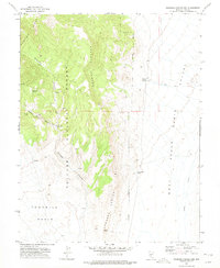
1971 · Georges Canyon Rim
USGS Topo · 1:24,000

1971 · Saulsbury Basin
USGS Topo · 1:24,000
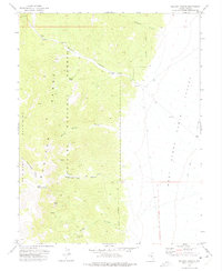
1971 · McCann Canyon
USGS Topo · 1:24,000